Transport Functions
Port
Road
Hub Profile
Place type
Populated place
Region
Friesland
Time zone
Europe/Amsterdam
Elevation
-1 m
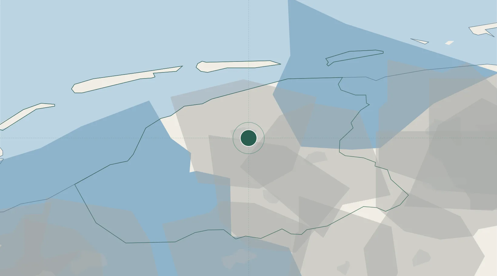
Location
Nearby Logistics Neighbours
Cities
- 1Leeuwarden5 km
- 2Lekkum6 km
- 3Britsum8 km
- 4Eernewoude9 km
- 5Kloosterburen11 km
Ports
- 1Harlingen28 km
- 2Eemshaven73 km
- 3Den Helder74 km
- 4Delfzijl75 km
- 5Emden91 km
Airports
Trade Zones
DatabookThe Record of Consolidated Knowledge
Netherlands beyond logistics?