UN/LOCODE hub · Netherlands
NLBDA

Birdaard

53.3000°, 5.8833°
2
Transport functions

Transport Functions

Port
Road
UN/LOCODE

Hub Profile

Region
FR
GeoNames

Location

Location of NLBDA
Natural Earth 10m (public domain) · FR · NLBDA · 53.30, 5.88GoogleOSMYandex

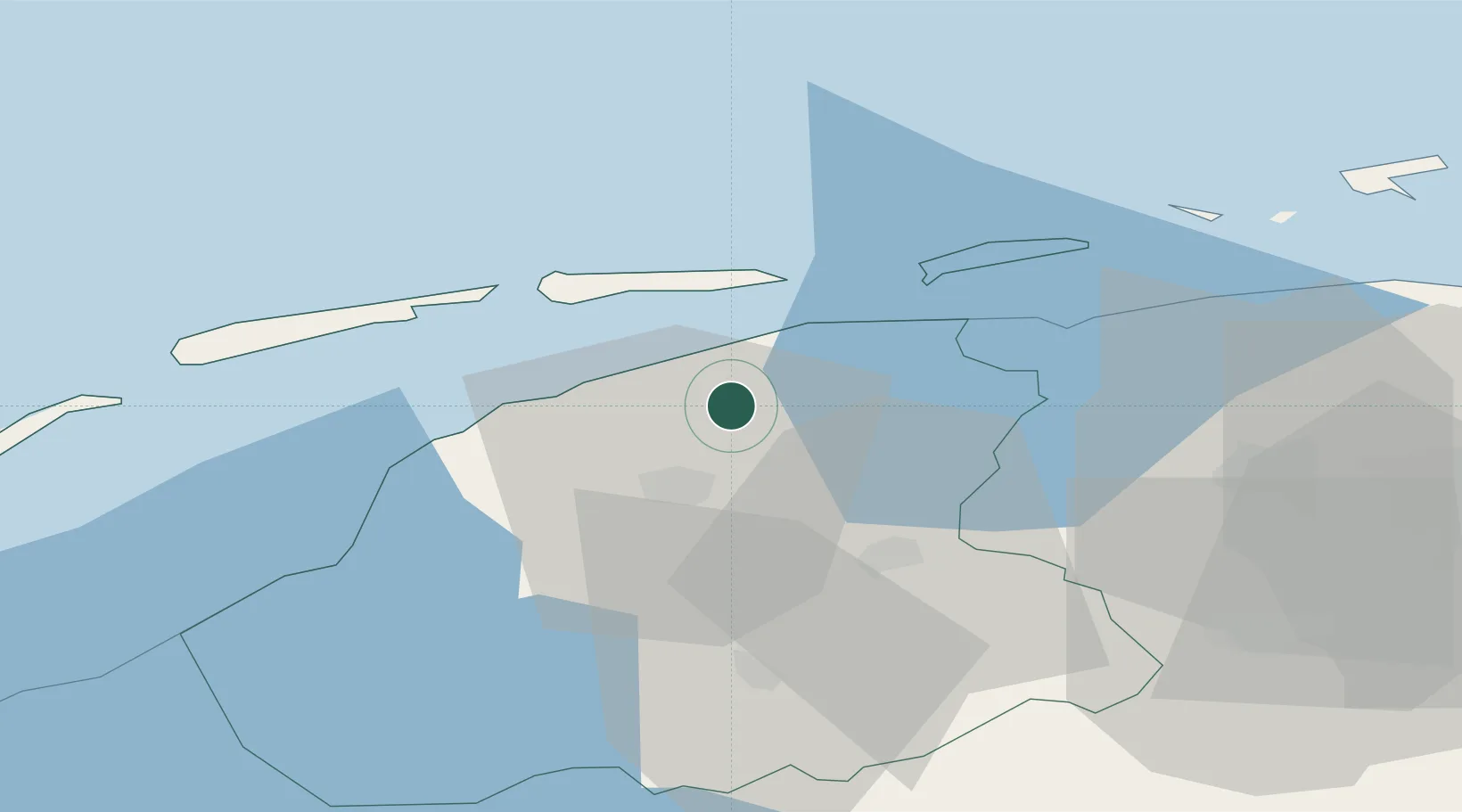
Nearby Logistics Neighbours

Cities
  1. 1Bartlehiem4 km
  2. 2Sijbrandahuis6 km
  3. 3Lekkum9 km
  4. 4Britsum9 km
  5. 5Holwerd9 km
Nearest neighbours — logibook spatial index (haversine) over the source coordinates
Ports
  1. 1Harlingen34 km
  2. 2Eemshaven65 km
  3. 3Delfzijl70 km
  4. 4Den Helder82 km
  5. 5Emden86 km
Nearest neighbours — logibook spatial index (haversine) over the source coordinates
Airports
  1. 1Leeuwarden Air Base11 km
  2. 2Groningen Airport Eelde50 km
  3. 3Borkum Airport64 km
  4. 4De Kooy Airfield / Den Helder Naval Air Station85 km
  5. 5Juist Airport88 km
Nearest neighbours — logibook spatial index (haversine) over the source coordinates
Trade Zones
  1. 1Freeport of Emden87 km
  2. 2Freeport of Cuxhaven (Freihafen Cuxhaven)187 km
  3. 3Freeport of Bremerhaven (Freihafen Bremerhaven)194 km
  4. 4Freeport of Duisburg212 km
  5. 5Rheinische Revier SWZ268 km
Nearest neighbours — logibook spatial index (haversine) over the source coordinates
DatabookThe Record of Consolidated Knowledge
Netherlands beyond logistics?
Browse databook

All Sources

LocationsUN/LOCODE
UN/LOCODE — free
Portsthe NGA World Port Index
Public domain (US gov)
AirportsOurAirports
Public domain
Trade Zonesthe World Bank SEZ database
CC BY 4.0
Trade ZonesOpen Zone Map
CC BY
← Netherlands locations