UN/LOCODE hub · Netherlands
NLHRB
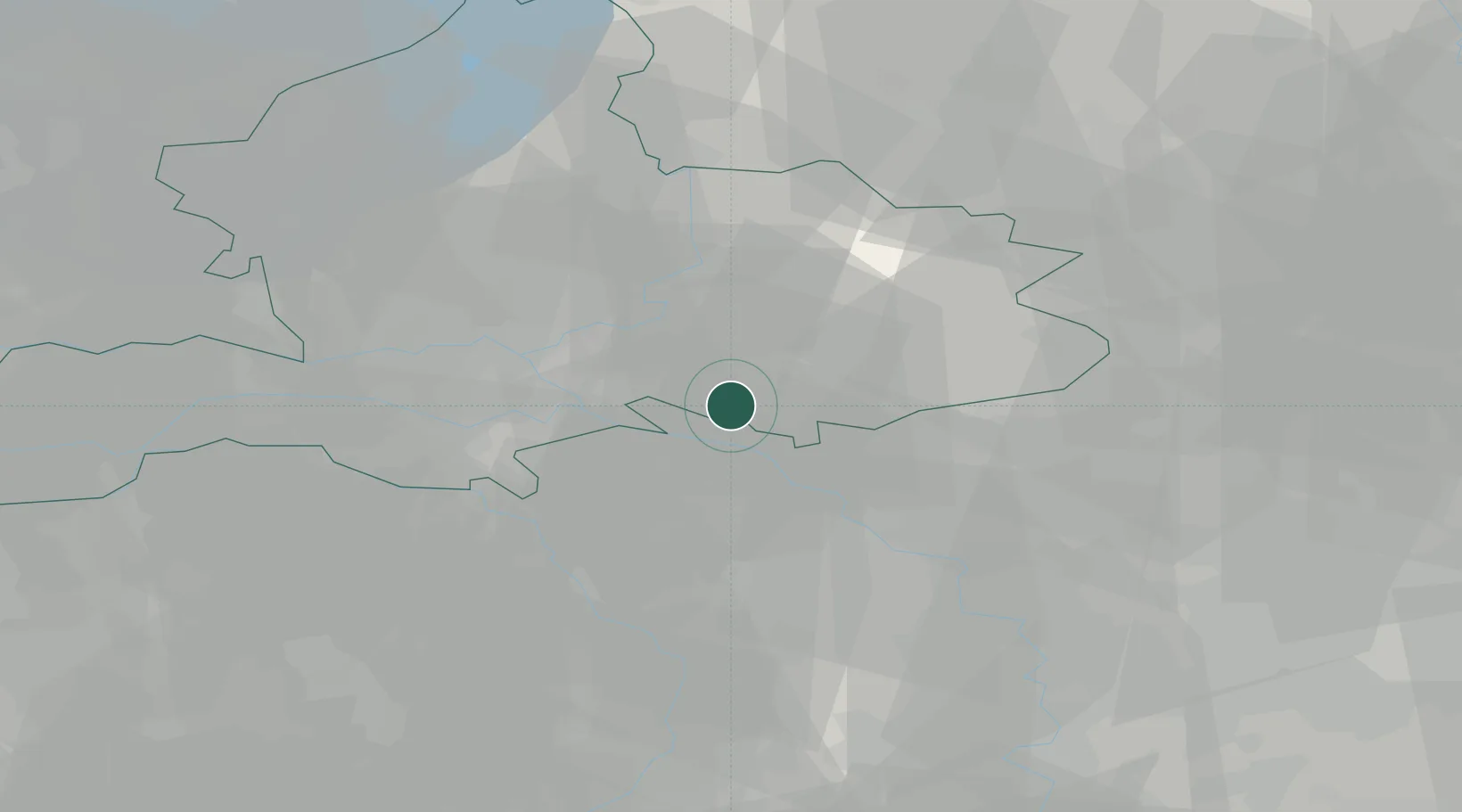
's-Heerenberg
51.8833°, 6.2500°
4,720
Population
3
Transport functions
Transport Functions
Road
Multimodal
Border Crossing
Hub Profile
Place type
Populated place
Region
Gelderland
Population
4,720
Time zone
Europe/Amsterdam
Elevation
16 m
Location
Nearby Logistics Neighbours
Airports
- 1Weeze (Niederrhein) Airport32 km
- 2Deelen Air Base33 km
- 3Volkel Air Base45 km
- 4Twente Airport62 km
- 5Mönchengladbach Airport75 km
Trade Zones
- 1Freeport of Duisburg54 km
- 2Rheinische Revier SWZ109 km
- 3Freeport of Emden174 km
- 4Freeport of Bremerhaven (Freihafen Bremerhaven)217 km
- 5Luxembourg Free Port250 km
DatabookThe Record of Consolidated Knowledge
Netherlands beyond logistics?