Transport Functions
Port
Road
Hub Profile
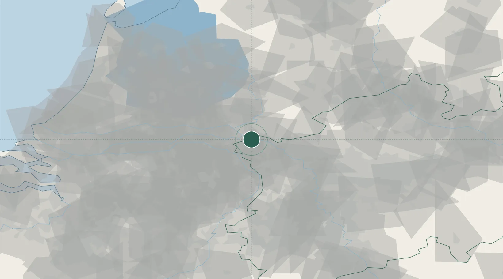
Place type
Populated place
Region
Gelderland
Population
2,430
Time zone
Europe/Amsterdam
Elevation
14 m
Location
Nearby Logistics Neighbours
Cities
- 1Millingen aan de Rijn4 km
- 2Elten4 km
- 3Spyck6 km
- 4Kleve8 km
- 5Gendt10 km
Airports
- 1Weeze (Niederrhein) Airport28 km
- 2Deelen Air Base28 km
- 3Volkel Air Base35 km
- 4Eindhoven Airport67 km
- 5Twente Airport72 km
Trade Zones
- 1Freeport of Duisburg56 km
- 2Rheinische Revier SWZ106 km
- 3Freeport of Emden181 km
- 4Freeport of Bremerhaven (Freihafen Bremerhaven)228 km
- 5Luxembourg Free Port246 km
DatabookThe Record of Consolidated Knowledge
Netherlands beyond logistics?