Medium airport · Germany
Mönchengladbach AirportEDLN
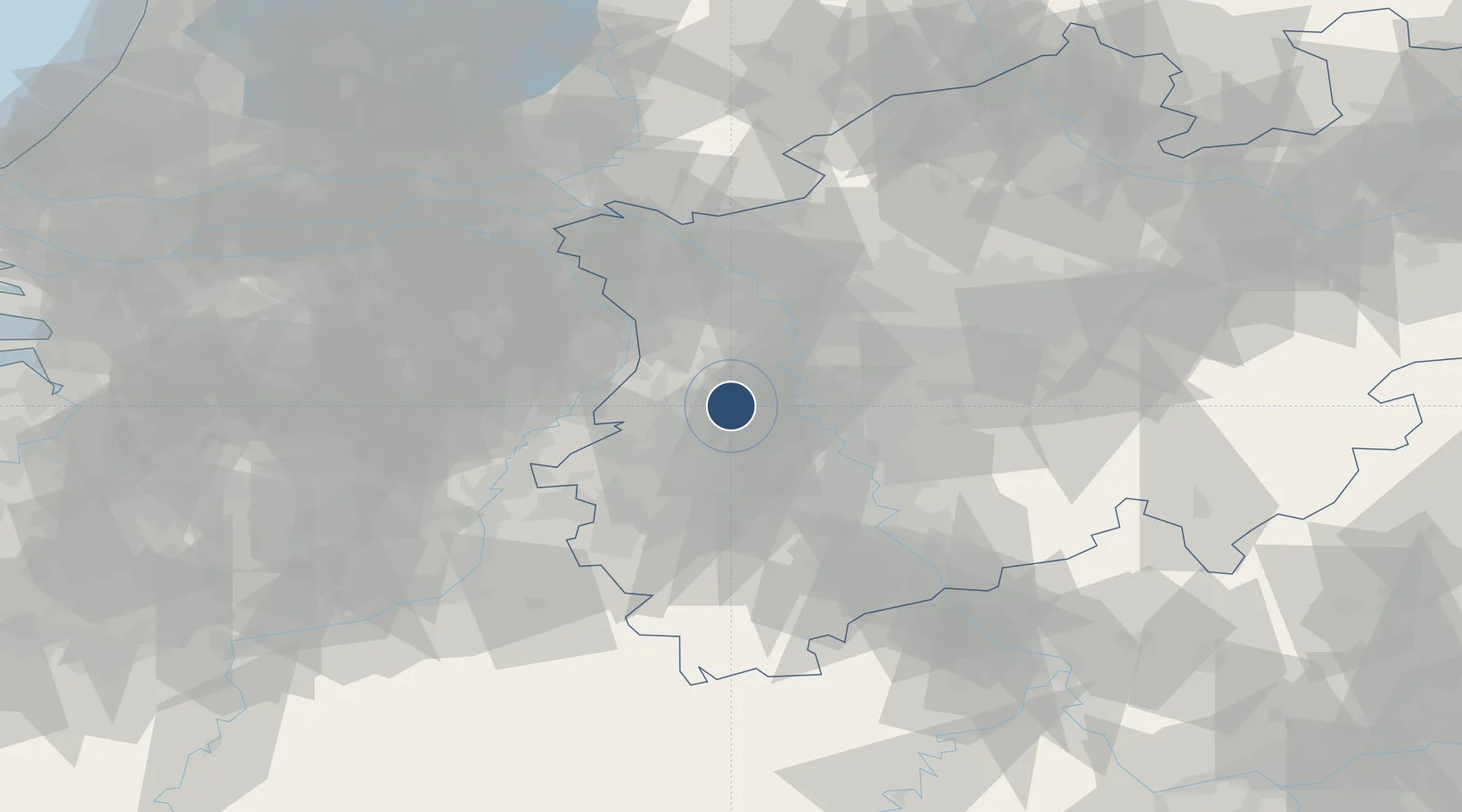
51.2303°, 6.5044°
3,937 ft
Longest runway
1
Runways
125 ft
Elevation
Runway & Layout

Radio Frequencies
ATIS
109.8 MHz
Moenchengladbach ATIS
TWR
120.455 MHz
Moenchengladbach Tower / Turm
GND
121.93 MHz
Moenchengladbach Ground / Rollkontrolle
AFIS
129.875 MHz
Langen Information
Navaids
MGB NDB Monchengladbach 377 kHz
MHD DME Monchengladbach 112.50 MHz
MHV VOR Monchengladbach 109.80 MHz
Runways · 1
| Runway | Dimensions | Surface | True heading | Lit |
|---|---|---|---|---|
| 13/31 | 3,937 × 98ft | Asphalt | 129° | ✓ |
Airport Specifications
IATA code
MGL
ICAO code
EDLN
Airport class
Medium airport
Scheduled service
No
Runway surface
Asphalt
Served city
Mönchengladbach
Location
Nearby Logistics Neighbours
Airports
- 1Düsseldorf Airport19 km
- 2Geilenkirchen Air Base44 km
- 3Nörvenich Air Base46 km
- 4Weeze (Niederrhein) Airport48 km
- 5Cologne Bonn Airport60 km
Cities
- 1Willich5 km
- 2Mönchengladbach6 km
- 3Dülken11 km
- 4Krefeld-Uerdingen12 km
- 5Wickrath12 km
Trade Zones
- 1Freeport of Duisburg25 km
- 2Rheinische Revier SWZ37 km
- 3Luxembourg Free Port178 km
- 4ZFU Ronde Couture208 km
- 5ZFU La Cité Behren-lès-Forbach231 km
DatabookThe Record of Consolidated Knowledge
Germany beyond logistics?