Transport Functions
Port
Rail
Road
Hub Profile
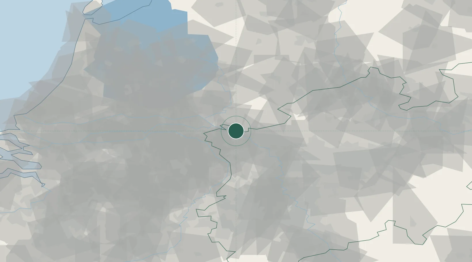
Place type
Populated place
Region
North Rhine-Westphalia
Population
30,869
Time zone
Europe/Berlin
Elevation
19 m
Logistics facilities
1
Location
Nearby Logistics Neighbours
Cities
- 1's-Heerenberg6 km
- 2Azewijn7 km
- 3Grieth7 km
- 4Elten8 km
- 5Kleve9 km
Airports
- 1Weeze (Niederrhein) Airport27 km
- 2Deelen Air Base37 km
- 3Volkel Air Base42 km
- 4Twente Airport66 km
- 5Mönchengladbach Airport69 km
Trade Zones
- 1Freeport of Duisburg49 km
- 2Rheinische Revier SWZ103 km
- 3Freeport of Emden179 km
- 4Freeport of Bremerhaven (Freihafen Bremerhaven)221 km
- 5Luxembourg Free Port244 km
DatabookThe Record of Consolidated Knowledge
Germany beyond logistics?