Transport Functions
Multimodal
Hub Profile
Place type
Populated place
Region
North Brabant
Population
1,310
Time zone
Europe/Amsterdam
Elevation
20 m
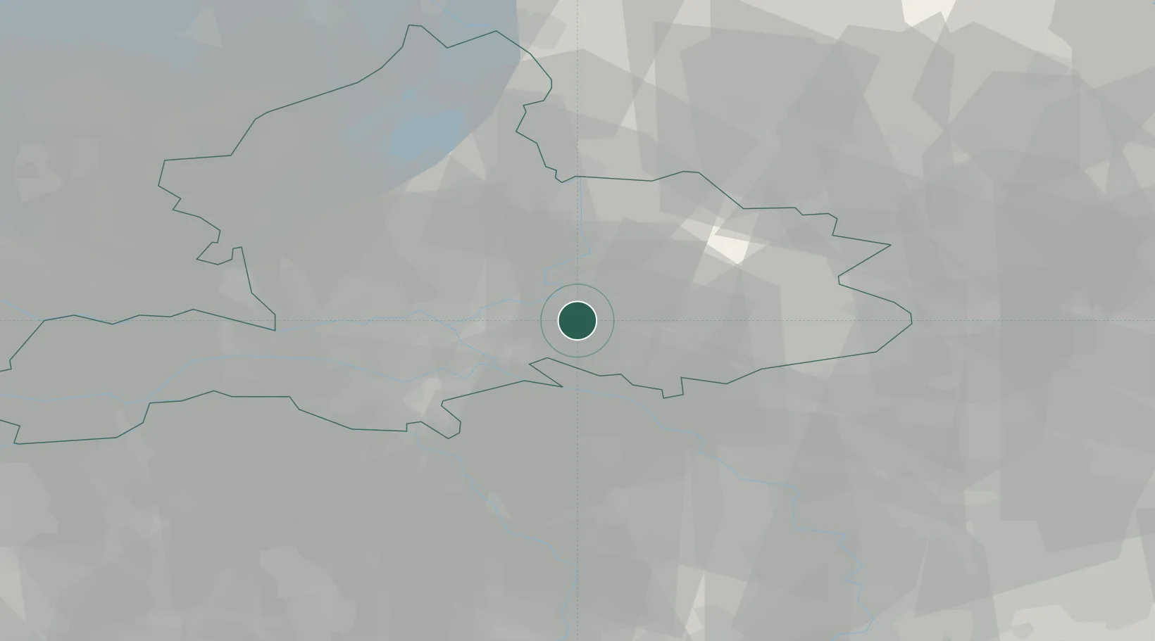
Location
Nearby Logistics Neighbours
Cities
- 1Drempt4 km
- 2Doesburg7 km
- 3Toldijk10 km
- 4's-Heerenberg10 km
- 5De Steeg11 km
Airports
- 1Deelen Air Base24 km
- 2Weeze (Niederrhein) Airport41 km
- 3Volkel Air Base48 km
- 4Twente Airport59 km
- 5Lelystad Airport71 km
Trade Zones
- 1Freeport of Duisburg64 km
- 2Rheinische Revier SWZ118 km
- 3Freeport of Emden167 km
- 4Freeport of Bremerhaven (Freihafen Bremerhaven)215 km
- 5Luxembourg Free Port259 km
DatabookThe Record of Consolidated Knowledge
Netherlands beyond logistics?