Export Processing Zone · Luxembourg

Luxembourg Free Port Active
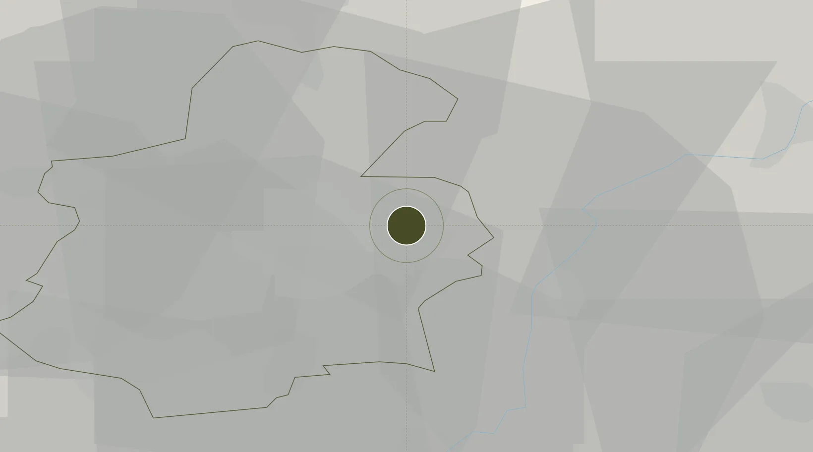
49.6394°, 6.2220°
22 ha
Zone area
190.6 km
Nearest port
1.6 km
Nearest airport

Gateway access

Nearest neighbours — logibook spatial index (haversine) over the source coordinates

Zone profile

Zone type
Export Processing Zone
Open Zone Map
Region
Luxembourg
Open Zone Map
Status
Active
Open Zone Map
Management
Private
Open Zone Map
Operator
BK Services/Natural Le Coultre
Open Zone Map
Legal framework
Customs Regulations (EEG) No 2658/87
Open Zone Map

Location

Location of ozm-2726
Natural Earth 10m (public domain) · Luxembourg · ozm-2726 · 49.64, 6.22GoogleOSMYandex

Nearby Logistics Neighbours

Ports
  1. 1Bruxelles191 km
  2. 2Antwerpen218 km
  3. 3Ghent237 km
  4. 4Terneuzen255 km
  5. 5Hansweert255 km
Nearest neighbours — logibook spatial index (haversine) over the source coordinates
Airports
  1. 1Luxembourg-Findel International Airport2 km
  2. 2Spangdahlem Air Base51 km
  3. 3Lieutenant Étienne Mantoux Air Base61 km
  4. 4Metz-Nancy-Lorraine Airport73 km
  5. 5Verdun-Le Rozelier Airfield79 km
Nearest neighbours — logibook spatial index (haversine) over the source coordinates
Cities
  1. 1Findel3 km
  2. 2Münsbach3 km
  3. 3Oetrange7 km
  4. 4Dommeldange7 km
  5. 5Moutfort7 km
Nearest neighbours — logibook spatial index (haversine) over the source coordinates
Trade Zones
  1. 1ZFU Woippy-Metz55 km
  2. 2ZFU Metz60 km
  3. 3ZFU La Cité Behren-lès-Forbach73 km
  4. 4ZFU Maxéville, Laxou, et de Nancy104 km
  5. 5ZFU Ronde Couture109 km
Nearest neighbours — logibook spatial index (haversine) over the source coordinates
DatabookThe Record of Consolidated Knowledge
Luxembourg beyond logistics?
Browse databook

All Sources

Trade ZonesOpen Zone Map
CC BY
Portsthe NGA World Port Index
Public domain (US gov)
AirportsOurAirports
Public domain
LocationsUN/LOCODE
UN/LOCODE — free
← Luxembourg trade zones