Large airport · Germany
Weeze (Niederrhein) AirportEDLV
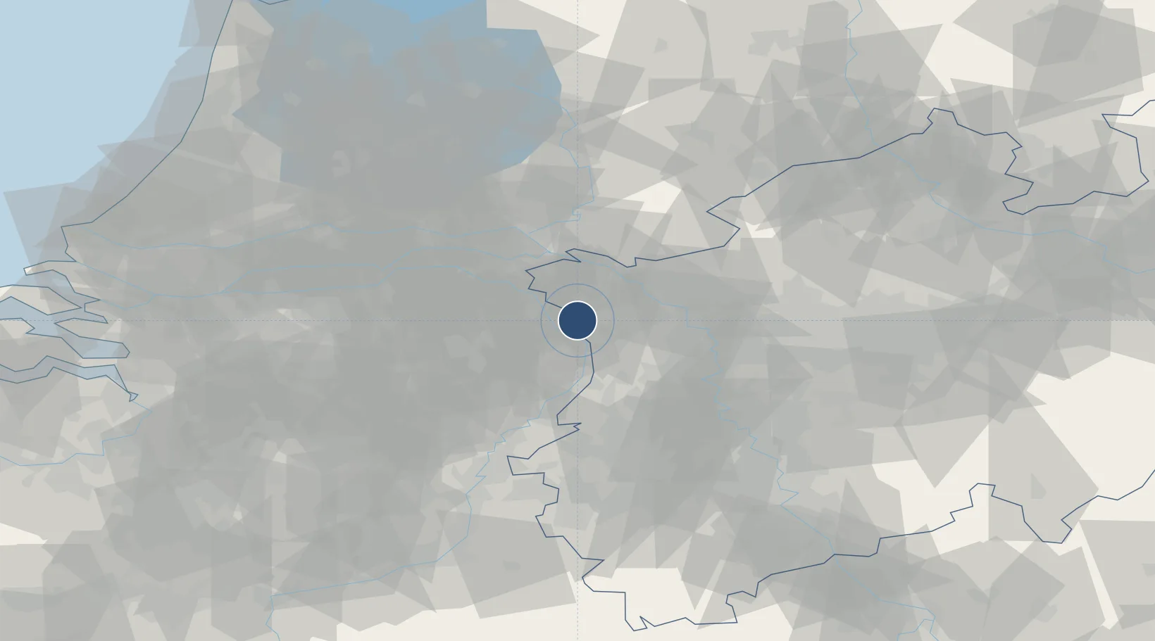
51.6014°, 6.1412°
8,005 ft
Longest runway
1
Runways
106 ft
Elevation
Runway & Layout

Radio Frequencies
ATIS
124.455 MHz
Niederrhein ATIS
TWR
129.405 MHz
Niederrhein Tower / Turm
INFO
129.875 MHz
Langen Information
OPC
131.455 MHz
Ryanair
RDR
128.5 MHz
LANGEN RADAR
Navaids
NID DME Niederrhein 115.50 MHz
Runways · 1
| Runway | Dimensions | Surface | True heading | Lit |
|---|---|---|---|---|
| 09/27 | 8,005 × 148ft | Asphalt / concrete | 092° | ✓ |
Airport Specifications
IATA code
NRN
ICAO code
EDLV
Airport class
Large airport
Scheduled service
Yes
Runway surface
Asphalt / concrete
Served city
Weeze
Location
Nearby Logistics Neighbours
Airports
- 1Volkel Air Base31 km
- 2Mönchengladbach Airport48 km
- 3Kempen Airport Budel54 km
- 4Deelen Air Base54 km
- 5Düsseldorf Airport56 km
Cities
- 1Bosscherheide6 km
- 2Well6 km
- 3Maashees8 km
- 4Wanssum9 km
- 5Oirlo12 km
Ports
- 1Dordrecht106 km
- 2Rotterdam119 km
- 3Amsterdam120 km
- 4Schiedam124 km
- 5Vlaardingen128 km
Trade Zones
- 1Freeport of Duisburg35 km
- 2Rheinische Revier SWZ79 km
- 3Freeport of Emden206 km
- 4Luxembourg Free Port218 km
- 5ZFU Ronde Couture229 km
DatabookThe Record of Consolidated Knowledge
Germany beyond logistics?