Transport Functions
Port
Rail
Road
Hub Profile
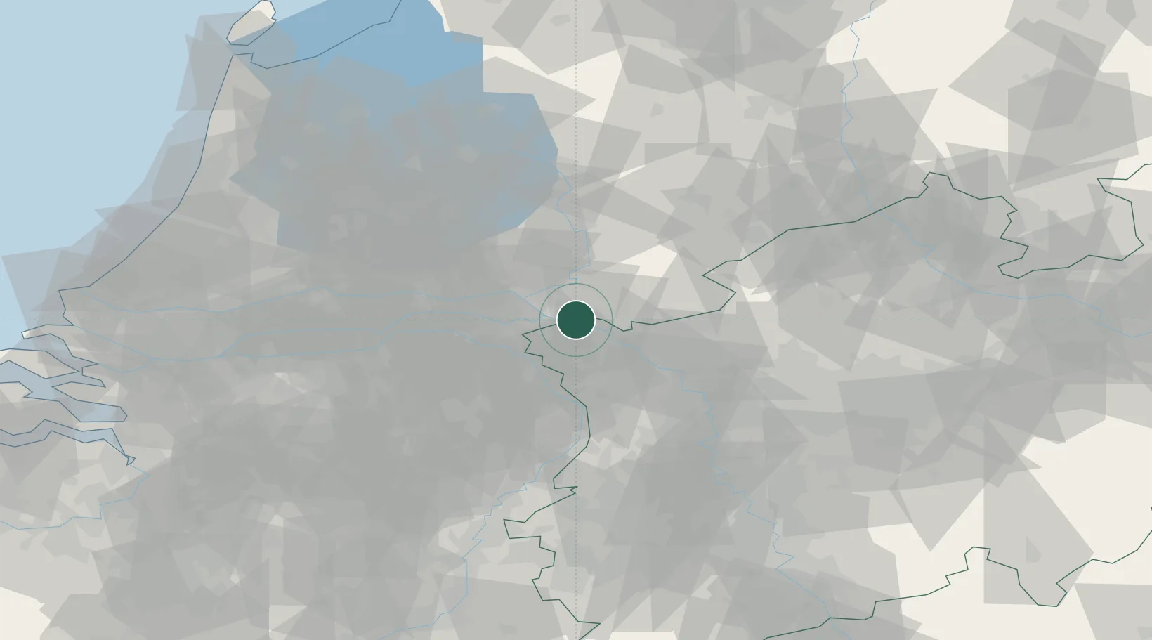
Place type
Populated place
Region
North Rhine-Westphalia
Time zone
Europe/Berlin
Elevation
22 m
Location
Nearby Logistics Neighbours
Cities
- 1Tolkamer4 km
- 2Millingen aan de Rijn7 km
- 3's-Heerenberg7 km
- 4Spyck8 km
- 5Emmerich8 km
Airports
- 1Deelen Air Base29 km
- 2Weeze (Niederrhein) Airport30 km
- 3Volkel Air Base38 km
- 4Twente Airport68 km
- 5Eindhoven Airport71 km
Trade Zones
- 1Freeport of Duisburg56 km
- 2Rheinische Revier SWZ108 km
- 3Freeport of Emden178 km
- 4Freeport of Bremerhaven (Freihafen Bremerhaven)224 km
- 5Luxembourg Free Port248 km
DatabookThe Record of Consolidated Knowledge
Germany beyond logistics?