Medium airport · Netherlands
Twente AirportEHTW
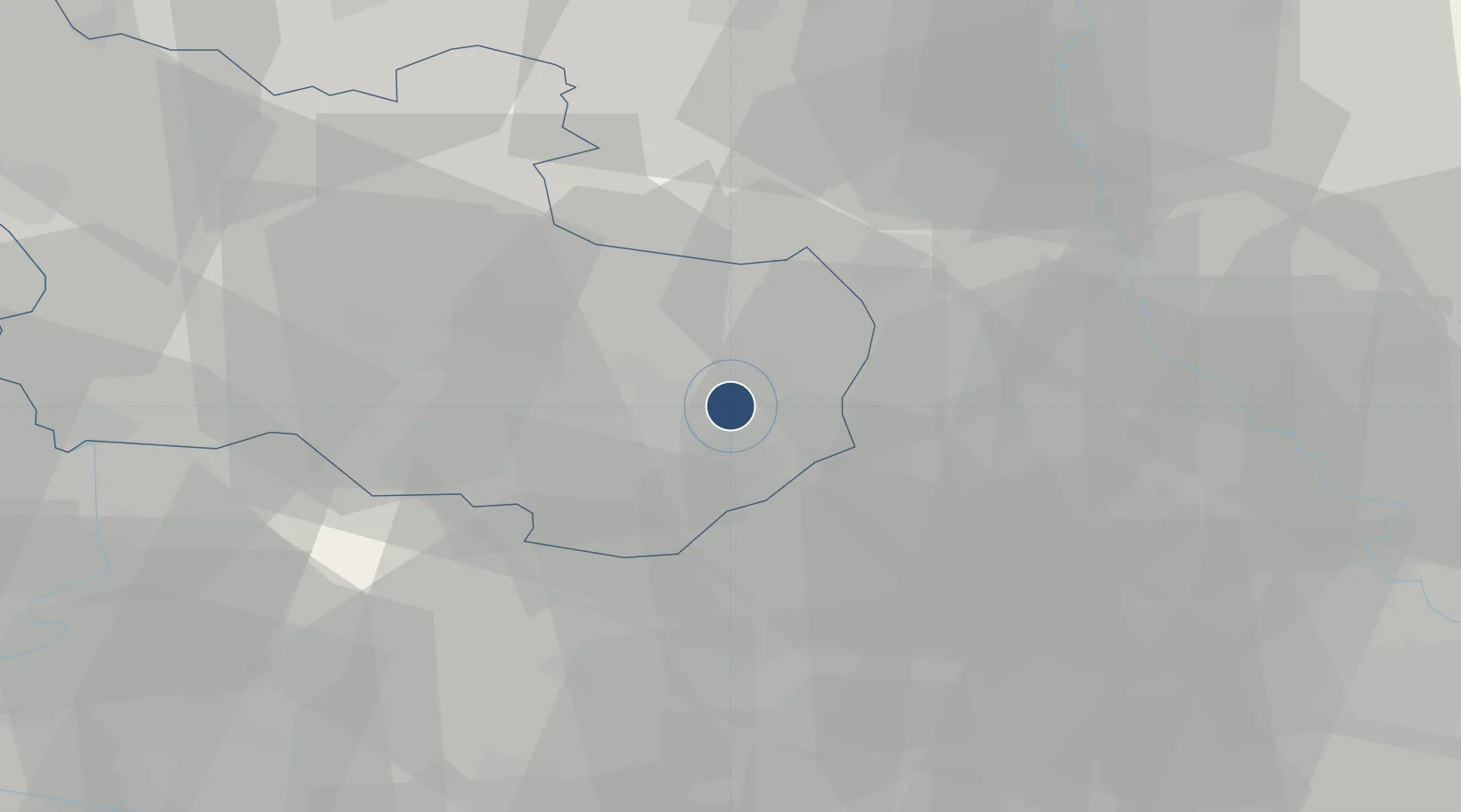
52.2758°, 6.8892°
9,801 ft
Longest runway
1
Runways
114 ft
Elevation
Runway & Layout

Radio Frequencies
INFO
132.355 MHz
Dutch Mil Info
RADIO
119.955 MHz
Twente Radio
Navaids
TWN TACAN Twenthe 110.70 MHz
TWN NDB Twenthe 336 kHz
Runways · 1
| Runway | Dimensions | Surface | True heading | Lit |
|---|---|---|---|---|
| 05/23 | 9,801 × 148ft | Asphalt | 056° | ✓ |
Airport Specifications
IATA code
ENS
ICAO code
EHTW
Airport class
Medium airport
Scheduled service
No
Runway surface
Asphalt
Served city
Enschede
Location
Nearby Logistics Neighbours
Airports
- 1Münster Osnabrück Airport57 km
- 2Deelen Air Base73 km
- 3Weeze (Niederrhein) Airport91 km
- 4Lelystad Airport95 km
- 5Groningen Airport Eelde96 km
Cities
- 1Hengelo8 km
- 2De Poppe10 km
- 3Overdinkel11 km
- 4Delden12 km
- 5Gronau12 km
Trade Zones
DatabookThe Record of Consolidated Knowledge
Netherlands beyond logistics?