Transport Functions
Road
Multimodal
Hub Profile
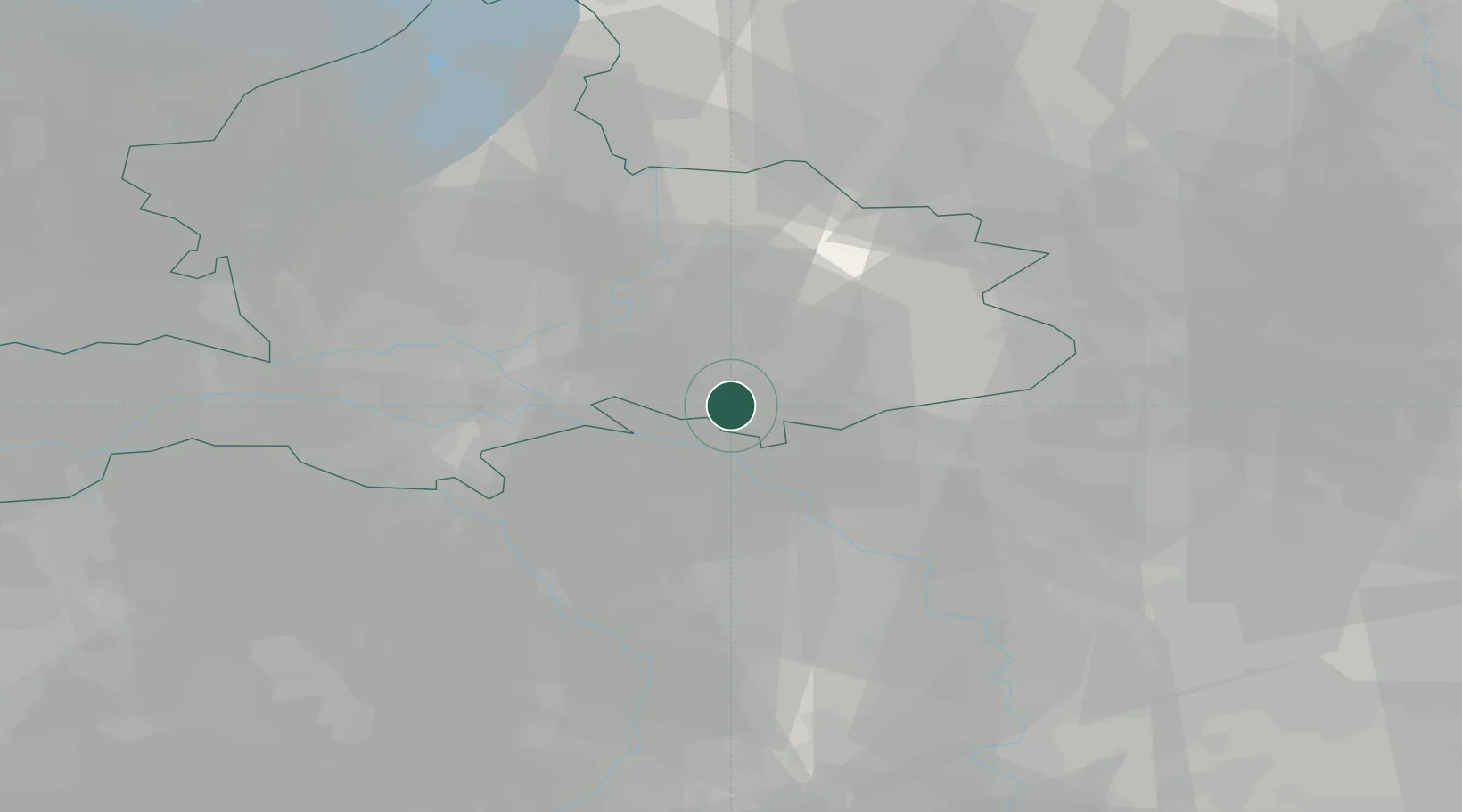
Place type
Populated place
Region
Gelderland
Population
490
Time zone
Europe/Amsterdam
Elevation
15 m
Location
Nearby Logistics Neighbours
Cities
- 1's-Heerenberg3 km
- 2Emmerich7 km
- 3Elten11 km
- 4Grieth11 km
- 5Handel12 km
Airports
- 1Weeze (Niederrhein) Airport33 km
- 2Deelen Air Base35 km
- 3Volkel Air Base48 km
- 4Twente Airport59 km
- 5Düsseldorf Airport74 km
Trade Zones
- 1Freeport of Duisburg53 km
- 2Rheinische Revier SWZ109 km
- 3Freeport of Emden172 km
- 4Freeport of Bremerhaven (Freihafen Bremerhaven)215 km
- 5Luxembourg Free Port250 km
DatabookThe Record of Consolidated Knowledge
Netherlands beyond logistics?