Transport Functions
Multimodal
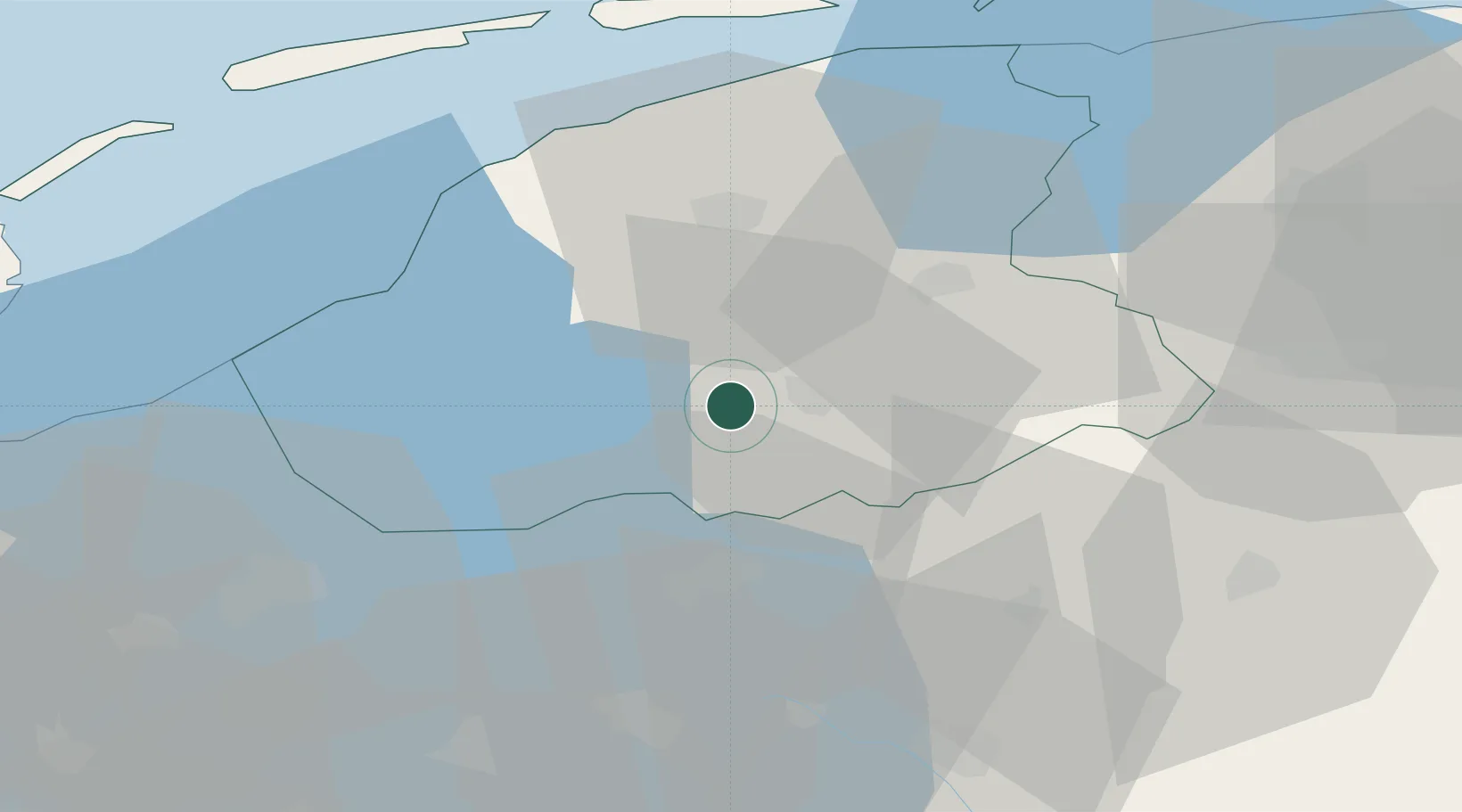
Hub Profile
Place type
Populated place
Region
Friesland
Population
570
Time zone
Europe/Amsterdam
Elevation
0 m
Location
Nearby Logistics Neighbours
Cities
- 1Boornzwaag over de Wielen5 km
- 2Haskerdijken7 km
- 3Echtenerbrug9 km
- 4Terhorne10 km
- 5Lippenwoude11 km
Ports
- 1Harlingen37 km
- 2Den Helder69 km
- 3Delfzijl86 km
- 4Eemshaven88 km
- 5Zaandam88 km
Airports
- 1Leeuwarden Air Base31 km
- 2Groningen Airport Eelde54 km
- 3Lelystad Airport59 km
- 4De Kooy Airfield / Den Helder Naval Air Station70 km
- 5Borkum Airport93 km
Trade Zones
DatabookThe Record of Consolidated Knowledge
Netherlands beyond logistics?