UN/LOCODE hub · Netherlands
NLEHU
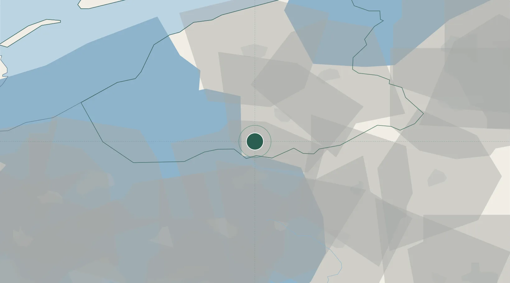
Echtenerbrug
52.8667°, 5.8167°
1,200
Population
2
Transport functions
Transport Functions
Port
Road
Hub Profile
Place type
Populated place
Region
Friesland
Population
1,200
Time zone
Europe/Amsterdam
Elevation
0 m
Location
Nearby Logistics Neighbours
Cities
- 1Langelille3 km
- 2Munnekeburen5 km
- 3Schoterzijl6 km
- 4Slijkenburg6 km
- 5Haskerhorne9 km
Ports
- 1Harlingen44 km
- 2Den Helder70 km
- 3Zaandam82 km
- 4Amsterdam83 km
- 5Delfzijl91 km
Airports
- 1Leeuwarden Air Base40 km
- 2Lelystad Airport50 km
- 3Groningen Airport Eelde58 km
- 4De Kooy Airfield / Den Helder Naval Air Station70 km
- 5Deelen Air Base90 km
Trade Zones
DatabookThe Record of Consolidated Knowledge
Netherlands beyond logistics?