UN/LOCODE hub · Netherlands
NLTRO

Terhorne

53.0333°, 5.7833°
2
Transport functions

Transport Functions

Port
Road
UN/LOCODE

Hub Profile

Region
FR
GeoNames

Location

Location of NLTRO
Natural Earth 10m (public domain) · FR · NLTRO · 53.03, 5.78GoogleOSMYandex

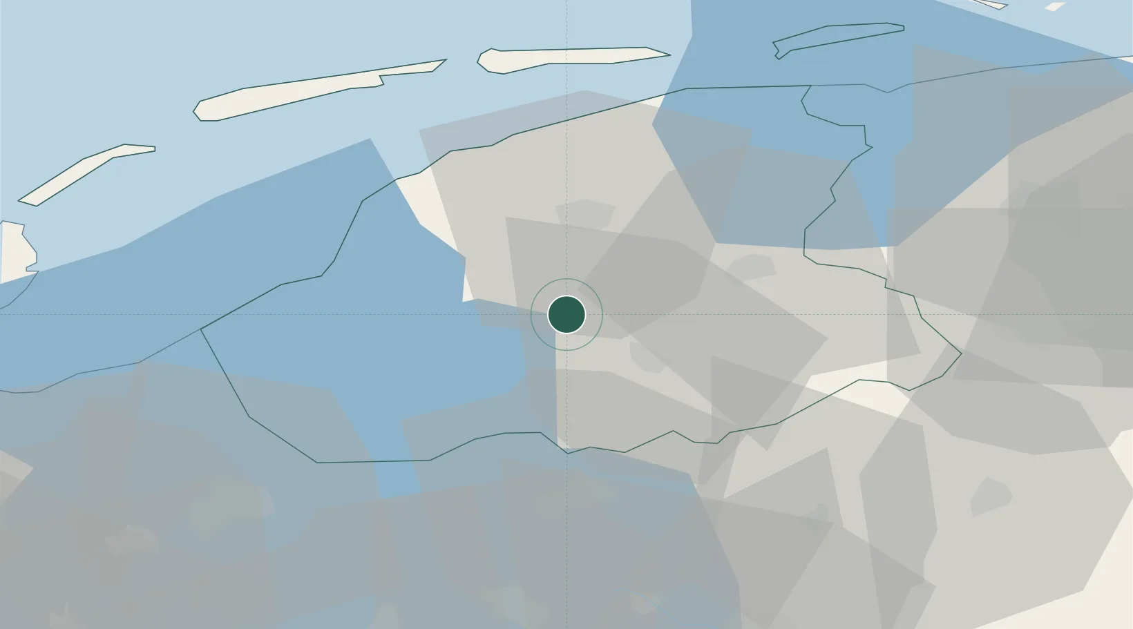
Nearby Logistics Neighbours

Cities
  1. 1Oude Schouw4 km
  2. 2Nes5 km
  3. 3Boarnsterhim6 km
  4. 4Haskerdijken7 km
  5. 5Heerenveen9 km
Nearest neighbours — logibook spatial index (haversine) over the source coordinates
Ports
  1. 1Harlingen30 km
  2. 2Den Helder67 km
  3. 3Delfzijl84 km
  4. 4Eemshaven84 km
  5. 5Zaandam92 km
Nearest neighbours — logibook spatial index (haversine) over the source coordinates
Airports
  1. 1Leeuwarden Air Base22 km
  2. 2Groningen Airport Eelde54 km
  3. 3Lelystad Airport67 km
  4. 4De Kooy Airfield / Den Helder Naval Air Station68 km
  5. 5Borkum Airport88 km
Nearest neighbours — logibook spatial index (haversine) over the source coordinates
Trade Zones
  1. 1Freeport of Emden100 km
  2. 2Freeport of Duisburg185 km
  3. 3Freeport of Bremerhaven (Freihafen Bremerhaven)200 km
  4. 4Freeport of Cuxhaven (Freihafen Cuxhaven)204 km
  5. 5Rheinische Revier SWZ240 km
Nearest neighbours — logibook spatial index (haversine) over the source coordinates
DatabookThe Record of Consolidated Knowledge
Netherlands beyond logistics?
Browse databook

All Sources

LocationsUN/LOCODE
UN/LOCODE — free
Portsthe NGA World Port Index
Public domain (US gov)
AirportsOurAirports
Public domain
Trade Zonesthe World Bank SEZ database
CC BY 4.0
Trade ZonesOpen Zone Map
CC BY
← Netherlands locations