Transport Functions
Port
Road
Hub Profile
Place type
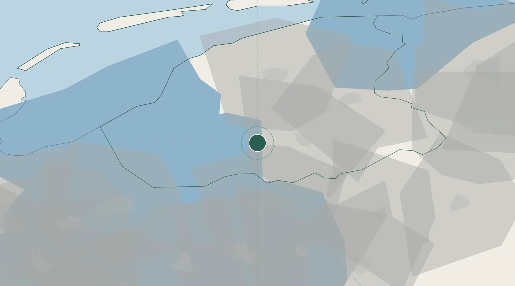
Populated place
Region
Friesland
Time zone
Europe/Amsterdam
Elevation
-1 m
Location
Nearby Logistics Neighbours
Cities
- 1Haskerhorne5 km
- 2Lippenwoude7 km
- 3Sloten9 km
- 4Terhorne10 km
- 5Haskerdijken10 km
Ports
- 1Harlingen34 km
- 2Den Helder65 km
- 3Zaandam84 km
- 4Amsterdam87 km
- 5Delfzijl90 km
Airports
- 1Leeuwarden Air Base31 km
- 2Lelystad Airport58 km
- 3Groningen Airport Eelde58 km
- 4De Kooy Airfield / Den Helder Naval Air Station65 km
- 5Borkum Airport96 km
Trade Zones
DatabookThe Record of Consolidated Knowledge
Netherlands beyond logistics?