Transport Functions
Rail
Road
Hub Profile
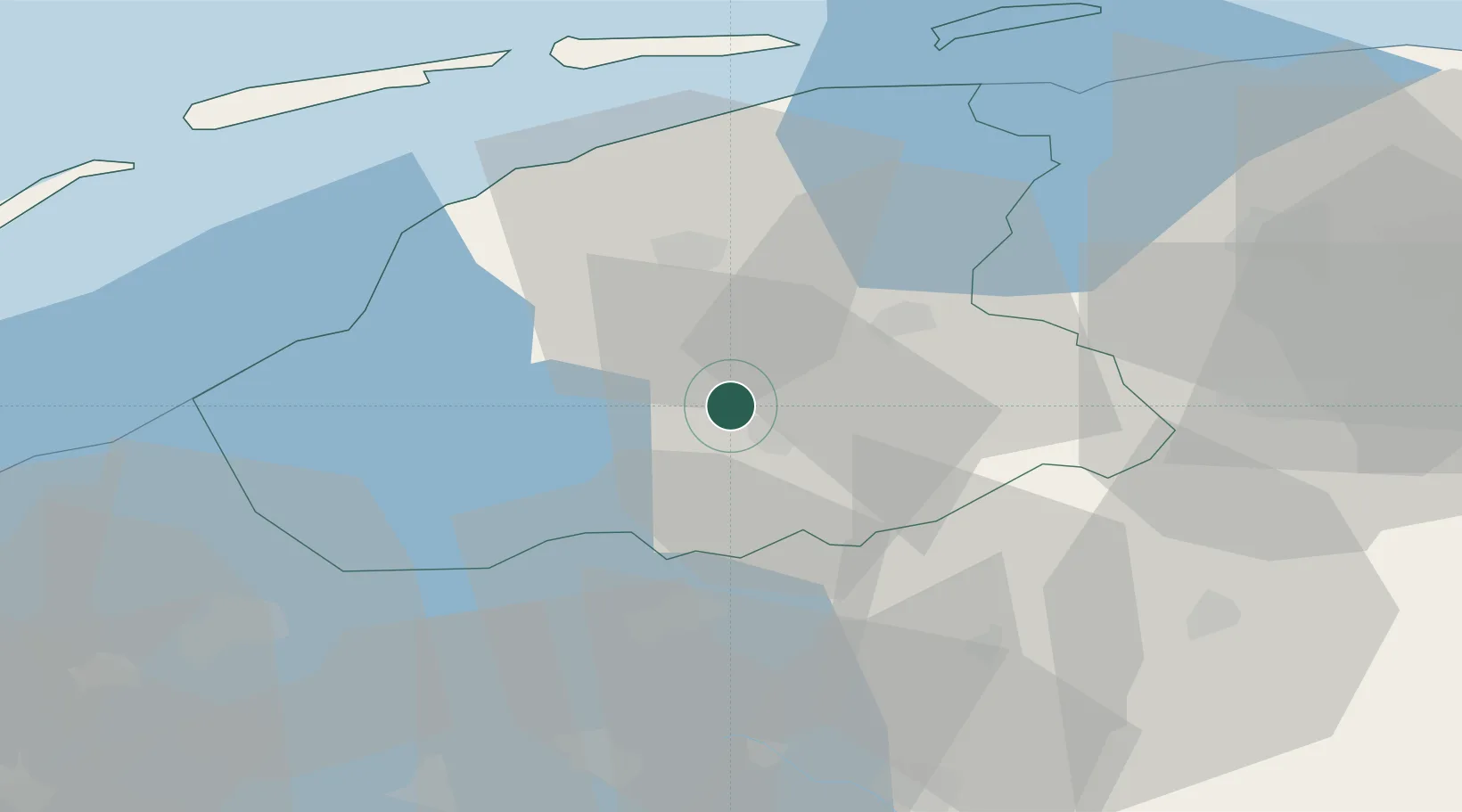
Place type
Populated place
Region
Friesland
Population
395
Time zone
Europe/Amsterdam
Elevation
1 m
Location
Nearby Logistics Neighbours
Cities
- 1Nes6 km
- 2Haskerhorne7 km
- 3Terhorne7 km
- 4Oude Schouw8 km
- 5Boornzwaag over de Wielen10 km
Ports
- 1Harlingen36 km
- 2Den Helder73 km
- 3Delfzijl80 km
- 4Eemshaven82 km
- 5Zaandam94 km
Airports
- 1Leeuwarden Air Base26 km
- 2Groningen Airport Eelde49 km
- 3Lelystad Airport65 km
- 4De Kooy Airfield / Den Helder Naval Air Station73 km
- 5Borkum Airport87 km
Trade Zones
DatabookThe Record of Consolidated Knowledge
Netherlands beyond logistics?