Transport Functions
Port
Road
Hub Profile
Place type
Populated place
Region
Friesland
Time zone
Europe/Amsterdam
Elevation
-1 m
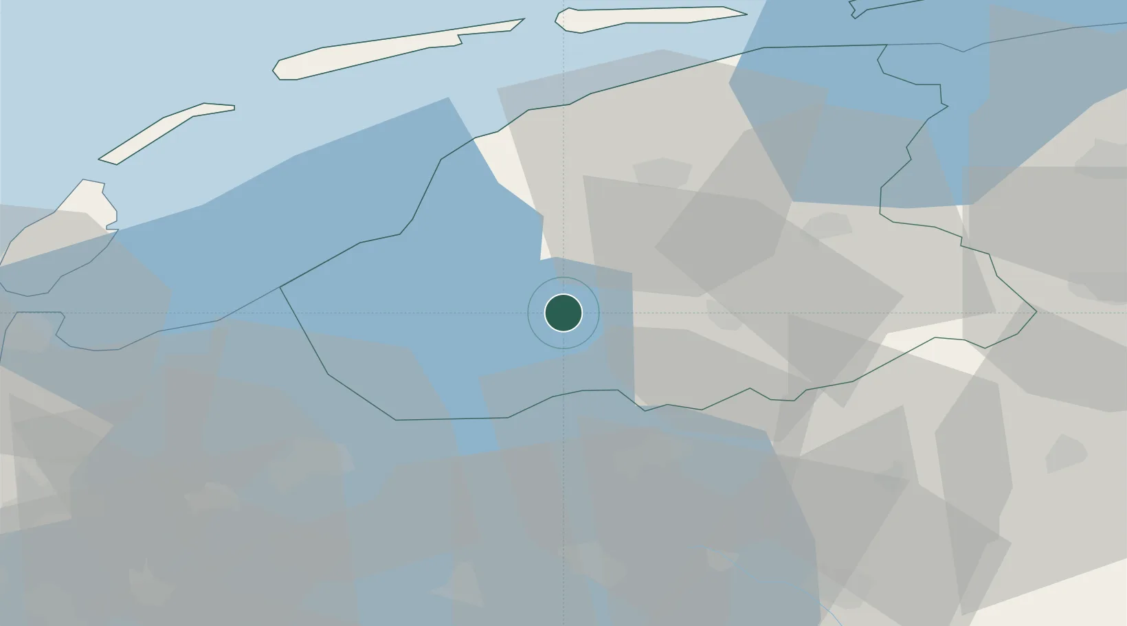
Location
Nearby Logistics Neighbours
Cities
- 1Nijezijl4 km
- 2Oosthem7 km
- 3Boornzwaag over de Wielen7 km
- 4Sloten7 km
- 5Oudega8 km
Ports
- 1Harlingen29 km
- 2Den Helder58 km
- 3Zaandam81 km
- 4Amsterdam84 km
- 5Ijmuiden91 km
Airports
Trade Zones
DatabookThe Record of Consolidated Knowledge
Netherlands beyond logistics?