UN/LOCODE hub · Netherlands
NLDRB

Driebergen-Rijsenburg
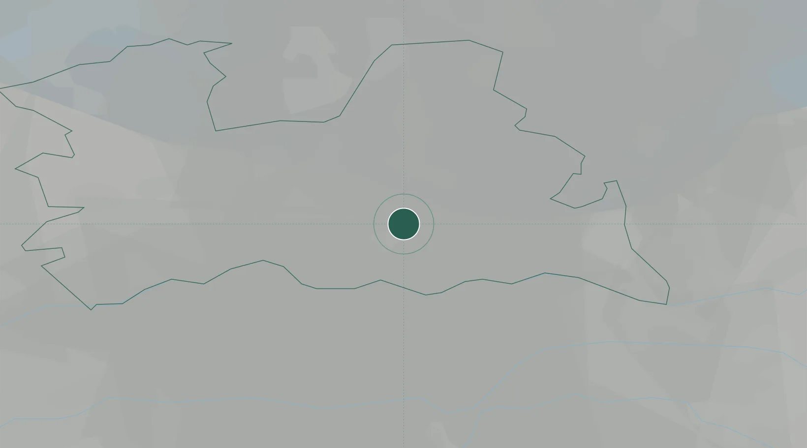
52.0500°, 5.2833°
18,553
Population
1
Transport functions

Transport Functions

Multimodal
UN/LOCODE

Hub Profile

Place type
Populated place
GeoNames
Region
Utrecht
GeoNames
Population
18,553
GeoNames
Time zone
Europe/Amsterdam
GeoNames
Elevation
9 m
GeoNames

Location

Location of NLDRB
Natural Earth 10m (public domain) · Utrecht · NLDRB · 52.05, 5.28GoogleOSMYandex

Nearby Logistics Neighbours

Cities
  1. 1Werkhoven5 km
  2. 2Schalkwijk10 km
  3. 3Groenekan12 km
  4. 4Amersfoort13 km
  5. 5Amerongen14 km
Nearest neighbours — logibook spatial index (haversine) over the source coordinates
Ports
  1. 1Amsterdam44 km
  2. 2Dordrecht51 km
  3. 3Zaandam53 km
  4. 4Rotterdam57 km
  5. 5Schiedam63 km
Nearest neighbours — logibook spatial index (haversine) over the source coordinates
Airports
  1. 1Deelen Air Base40 km
  2. 2Amsterdam Airport Schiphol46 km
  3. 3Lelystad Airport48 km
  4. 4Volkel Air Base53 km
  5. 5Rotterdam The Hague Airport59 km
Nearest neighbours — logibook spatial index (haversine) over the source coordinates
Trade Zones
  1. 1Freeport of Duisburg112 km
  2. 2Rheinische Revier SWZ148 km
  3. 3Freeport of Emden192 km
  4. 4ZFU Tourcoing209 km
  5. 5ZFU Hem et Roubaix211 km
Nearest neighbours — logibook spatial index (haversine) over the source coordinates
DatabookThe Record of Consolidated Knowledge
Netherlands beyond logistics?
Browse databook

All Sources

LocationsUN/LOCODE
UN/LOCODE — free
LocationsGeoNames
CC BY 4.0
Portsthe NGA World Port Index
Public domain (US gov)
AirportsOurAirports
Public domain
Trade Zonesthe World Bank SEZ database
CC BY 4.0
Trade ZonesOpen Zone Map
CC BY
← Netherlands locations