UN/LOCODE hub · Netherlands
NLAME
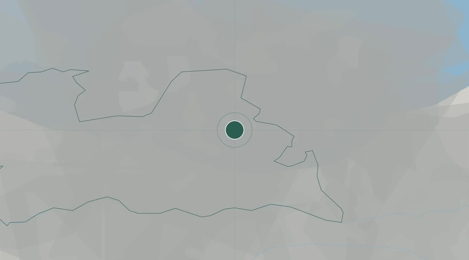
Amersfoort
52.1500°, 5.3833°
139,914
Population
3
Transport functions
Transport Functions
Port
Rail
Road
Hub Profile
Place type
Populated place
Region
Utrecht
Population
139,914
Time zone
Europe/Amsterdam
Elevation
8 m
Location
Nearby Logistics Neighbours
Cities
- 1Bunschoten-Spakenburg9 km
- 2Baarn11 km
- 3De Glind11 km
- 4Driebergen-Rijsenburg13 km
- 5Overberg15 km
Airports
- 1Lelystad Airport35 km
- 2Deelen Air Base35 km
- 3Amsterdam Airport Schiphol46 km
- 4Volkel Air Base59 km
- 5Rotterdam The Hague Airport68 km
Trade Zones
- 1Freeport of Duisburg114 km
- 2Rheinische Revier SWZ154 km
- 3Freeport of Emden179 km
- 4ZFU Tourcoing221 km
- 5ZFU Hem et Roubaix224 km
DatabookThe Record of Consolidated Knowledge
Netherlands beyond logistics?