Transport Functions
Multimodal
Hub Profile
Place type
Populated place
Region
Utrecht
Population
1,990
Time zone
Europe/Amsterdam
Elevation
6 m
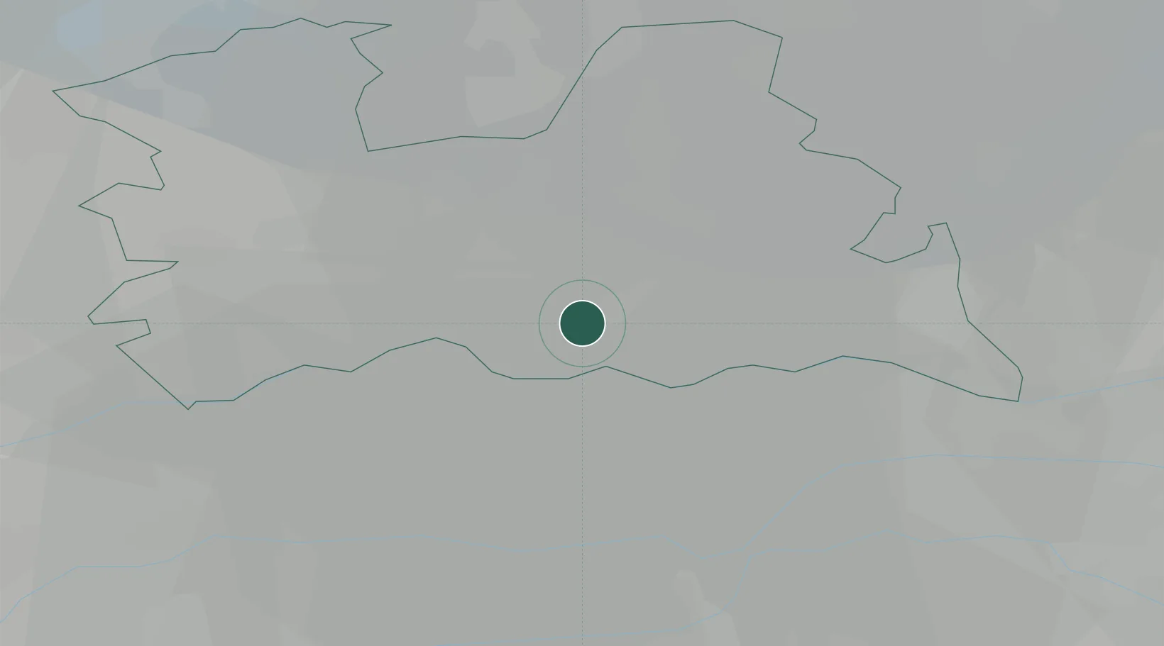
Location
Nearby Logistics Neighbours
Cities
- 1Driebergen-Rijsenburg5 km
- 2Schalkwijk5 km
- 3Groenekan13 km
- 4Oudenrijn14 km
- 5Stadsdam15 km
Airports
- 1Deelen Air Base44 km
- 2Amsterdam Airport Schiphol46 km
- 3Volkel Air Base52 km
- 4Lelystad Airport52 km
- 5Gilze Rijen Air Base54 km
Trade Zones
- 1Freeport of Duisburg113 km
- 2Rheinische Revier SWZ147 km
- 3Freeport of Emden197 km
- 4ZFU Tourcoing204 km
- 5ZFU Hem et Roubaix206 km
DatabookThe Record of Consolidated Knowledge
Netherlands beyond logistics?