Transport Functions
Port
Road
Hub Profile
Place type
Populated place
Region
Utrecht
Time zone
Europe/Amsterdam
Elevation
1 m
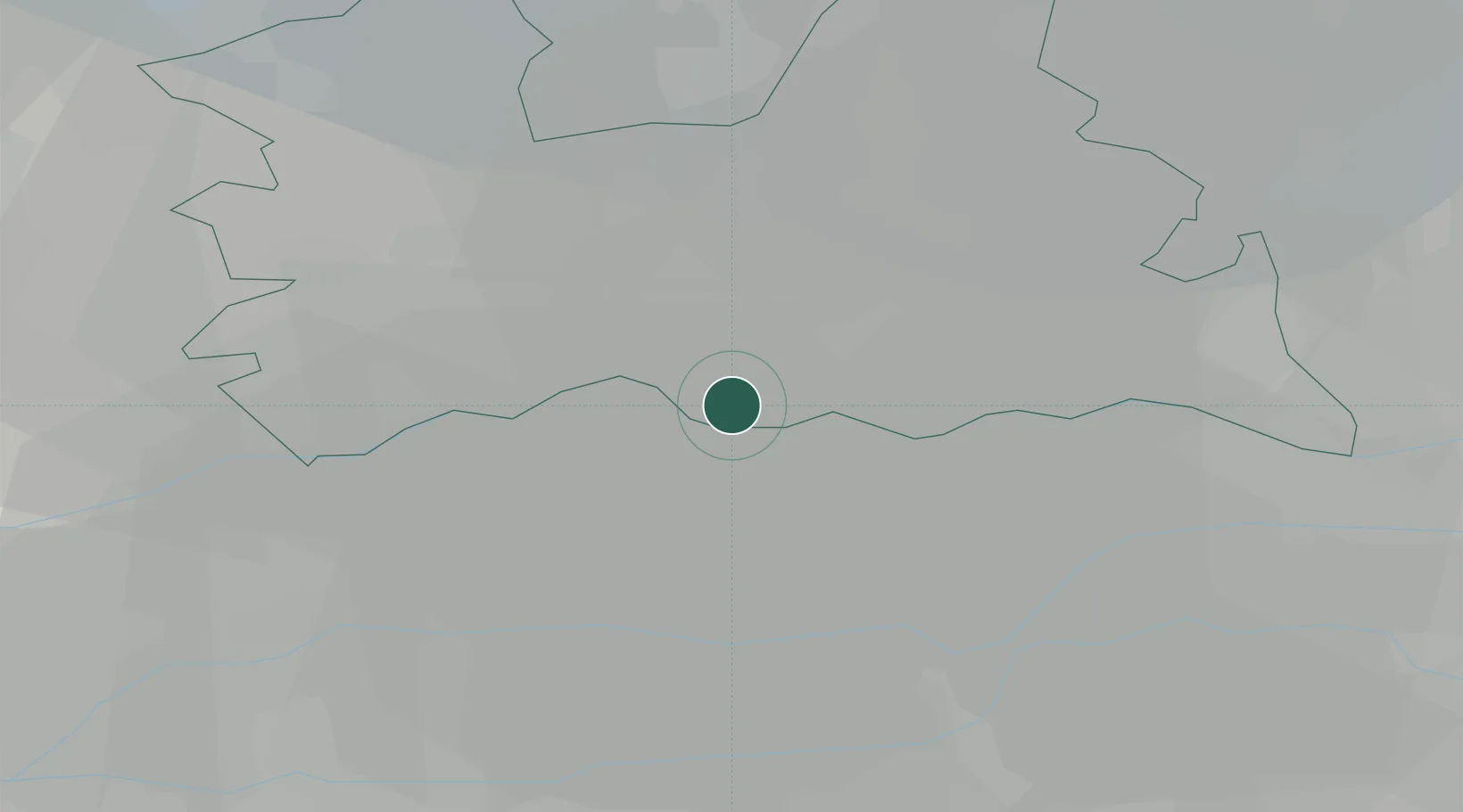
Location
Nearby Logistics Neighbours
Cities
- 1Werkhoven5 km
- 2Driebergen-Rijsenburg10 km
- 3Oudenrijn14 km
- 4Benschop14 km
- 5Stadsdam14 km
Airports
- 1Amsterdam Airport Schiphol46 km
- 2Deelen Air Base48 km
- 3Gilze Rijen Air Base49 km
- 4Volkel Air Base51 km
- 5Rotterdam The Hague Airport51 km
Trade Zones
- 1Freeport of Duisburg114 km
- 2Rheinische Revier SWZ145 km
- 3ZFU Tourcoing198 km
- 4ZFU Hem et Roubaix201 km
- 5Freeport of Emden202 km
DatabookThe Record of Consolidated Knowledge
Netherlands beyond logistics?