Transport Functions
Rail
Road
Hub Profile
Place type
Populated place
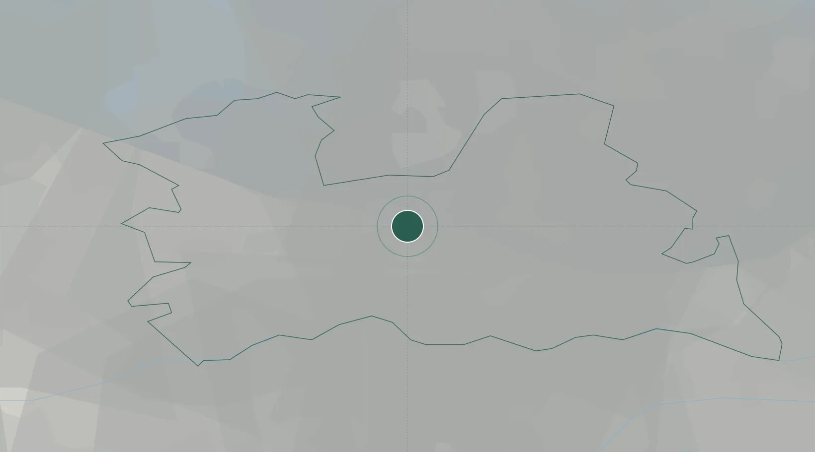
Region
Utrecht
Population
1,565
Time zone
Europe/Amsterdam
Elevation
4 m
Location
Nearby Logistics Neighbours
Cities
- 1Westbroek4 km
- 2Utrecht5 km
- 3Oud-Zuilen6 km
- 4Oudenrijn7 km
- 5Stadsdam8 km
Airports
- 1Amsterdam Airport Schiphol34 km
- 2Lelystad Airport45 km
- 3Deelen Air Base50 km
- 4Rotterdam The Hague Airport52 km
- 5Gilze Rijen Air Base63 km
Trade Zones
- 1Freeport of Duisburg124 km
- 2Rheinische Revier SWZ159 km
- 3Freeport of Emden193 km
- 4ZFU Tourcoing208 km
- 5ZFU Hem et Roubaix210 km
DatabookThe Record of Consolidated Knowledge
Netherlands beyond logistics?