Transport Functions
Port
Road
Hub Profile
Place type
Populated place
Region
Friesland
Population
735
Time zone
Europe/Amsterdam
Elevation
5 m
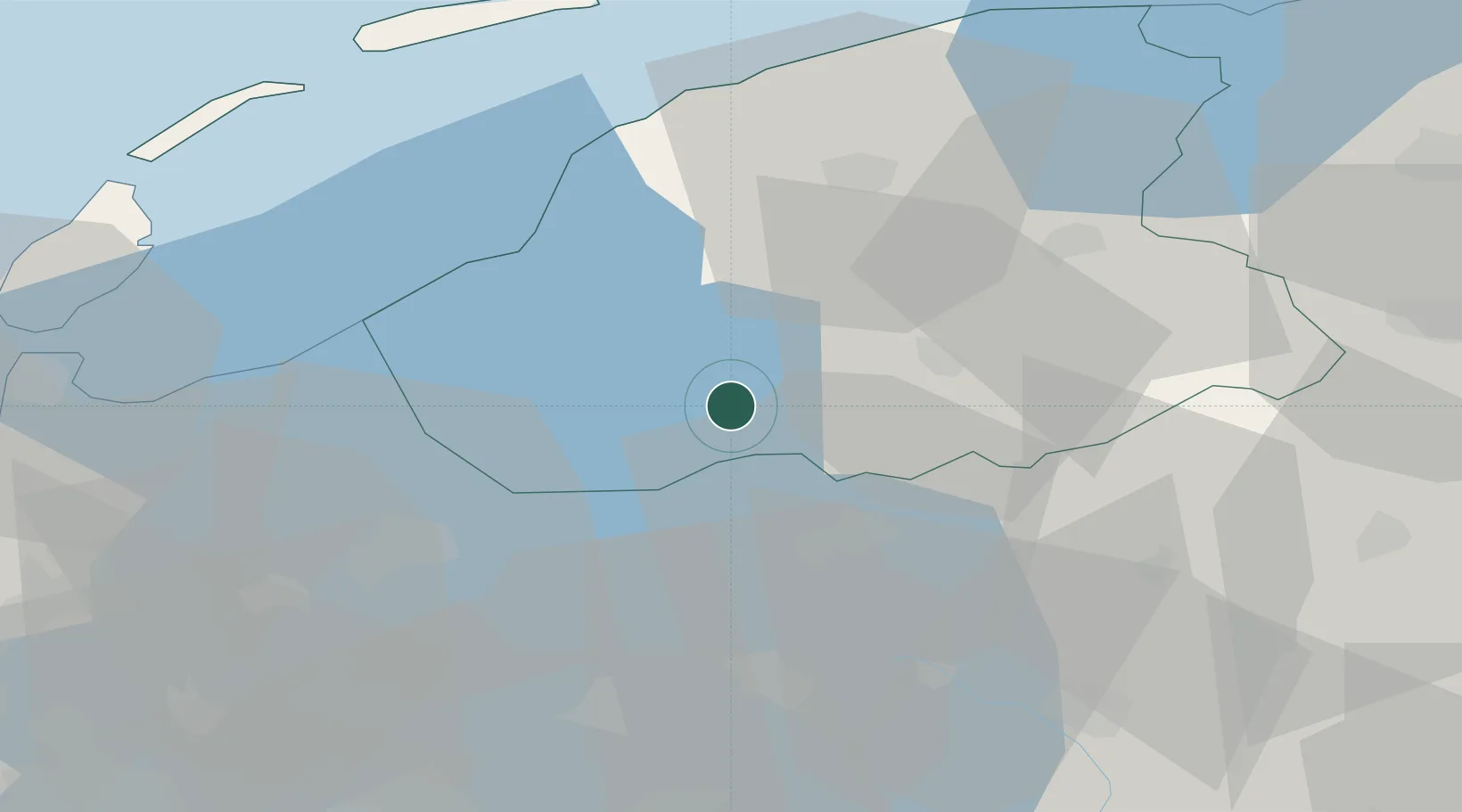
Location
Nearby Logistics Neighbours
Cities
- 1Boornzwaag6 km
- 2Lippenwoude7 km
- 3Boornzwaag over de Wielen9 km
- 4Rijs11 km
- 5Nijezijl11 km
Ports
- 1Harlingen35 km
- 2Den Helder59 km
- 3Zaandam76 km
- 4Amsterdam78 km
- 5Ijmuiden87 km
Airports
Trade Zones
DatabookThe Record of Consolidated Knowledge
Netherlands beyond logistics?