Transport Functions
Road
Multimodal
Hub Profile
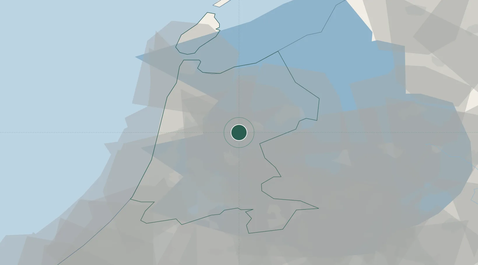
Place type
Populated place
Region
North Holland
Population
1,905
Time zone
Europe/Amsterdam
Elevation
-2 m
Location
Nearby Logistics Neighbours
Cities
- 1Beets6 km
- 2Oosthuizen7 km
- 3Rustenburg8 km
- 4Schellinkhout8 km
- 5Opmeer8 km
Ports
- 1Zaandam25 km
- 2Amsterdam30 km
- 3Ijmuiden34 km
- 4Den Helder40 km
- 5Harlingen67 km
Airports
Trade Zones
- 1Freeport of Emden166 km
- 2Freeport of Duisburg171 km
- 3Rheinische Revier SWZ214 km
- 4ZFU Tourcoing247 km
- 5ZFU Hem et Roubaix251 km
DatabookThe Record of Consolidated Knowledge
Netherlands beyond logistics?