Transport Functions
Multimodal
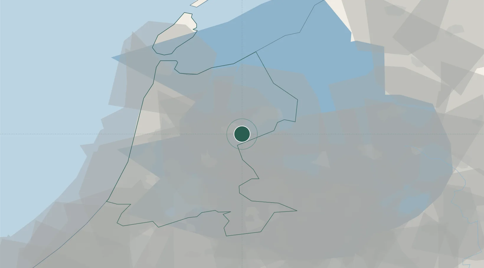
Hub Profile
Place type
Populated place
Region
North Holland
Population
900
Time zone
Europe/Amsterdam
Elevation
1 m
Location
Nearby Logistics Neighbours
Cities
- 1Berkhout8 km
- 2Oosthuizen11 km
- 3Beets12 km
- 4Opmeer14 km
- 5Hoogwoud15 km
Ports
- 1Zaandam29 km
- 2Amsterdam33 km
- 3Ijmuiden41 km
- 4Den Helder43 km
- 5Harlingen64 km
Airports
Trade Zones
- 1Freeport of Emden159 km
- 2Freeport of Duisburg166 km
- 3Rheinische Revier SWZ211 km
- 4Freeport of Bremerhaven (Freihafen Bremerhaven)251 km
- 5ZFU Tourcoing252 km
DatabookThe Record of Consolidated Knowledge
Netherlands beyond logistics?