Transport Functions
Port
Road
Hub Profile
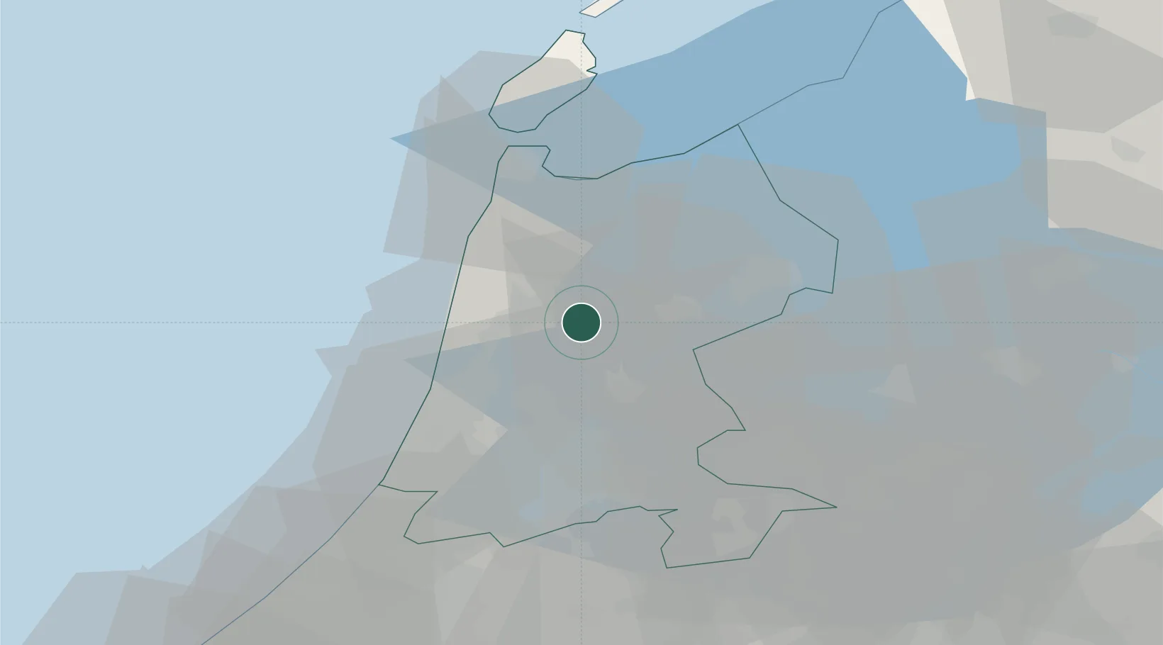
Place type
Populated place
Region
North Holland
Population
200
Time zone
Europe/Amsterdam
Elevation
-1 m
Location
Nearby Logistics Neighbours
Cities
- 1't Kruis3 km
- 2Oterleek3 km
- 3Schermerhorn4 km
- 4Stompetoren5 km
- 5Westbeemster7 km
Ports
- 1Zaandam23 km
- 2Ijmuiden28 km
- 3Amsterdam30 km
- 4Den Helder38 km
- 5Harlingen71 km
Airports
Trade Zones
- 1Freeport of Emden173 km
- 2Freeport of Duisburg176 km
- 3Rheinische Revier SWZ218 km
- 4ZFU Tourcoing243 km
- 5ZFU Hem et Roubaix247 km
DatabookThe Record of Consolidated Knowledge
Netherlands beyond logistics?