Transport Functions
Port
Rail
Road
Hub Profile
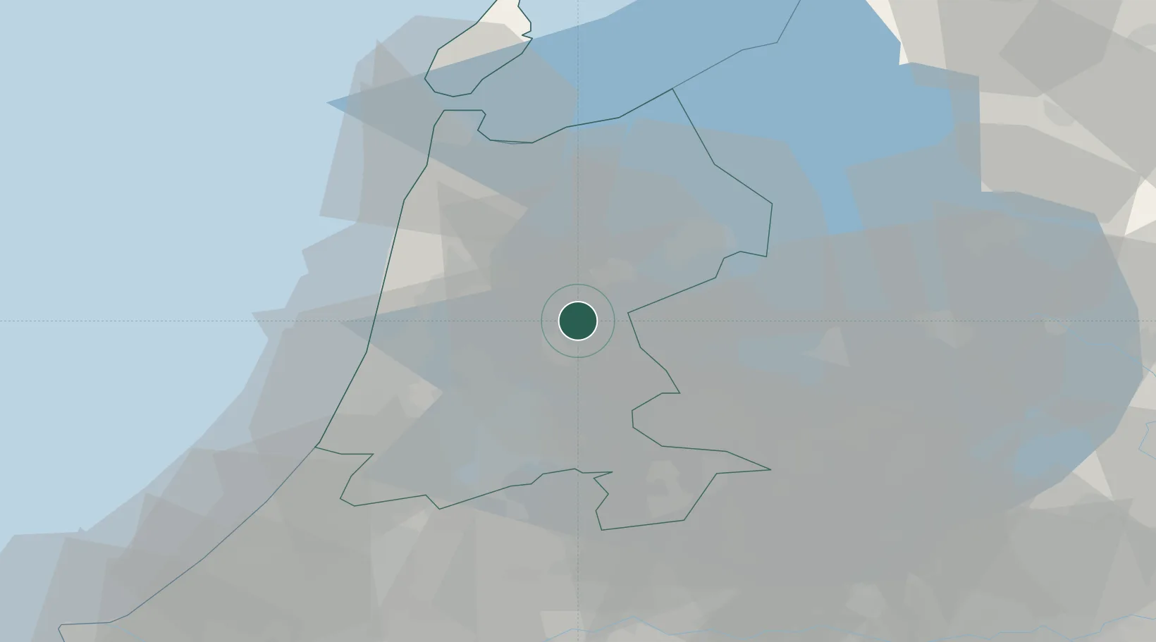
Place type
Populated place
Region
North Holland
Population
1,260
Time zone
Europe/Amsterdam
Elevation
0 m
Location
Nearby Logistics Neighbours
Cities
- 1Beets3 km
- 2Zuidoostbeemster7 km
- 3Berkhout7 km
- 4Westbeemster8 km
- 5Neck8 km
Ports
- 1Zaandam19 km
- 2Amsterdam23 km
- 3Ijmuiden30 km
- 4Den Helder47 km
- 5Scheveningen72 km
Airports
Trade Zones
- 1Freeport of Duisburg165 km
- 2Freeport of Emden170 km
- 3Rheinische Revier SWZ207 km
- 4ZFU Tourcoing241 km
- 5ZFU Hem et Roubaix244 km
DatabookThe Record of Consolidated Knowledge
Netherlands beyond logistics?