Transport Functions
Port
Road
Hub Profile
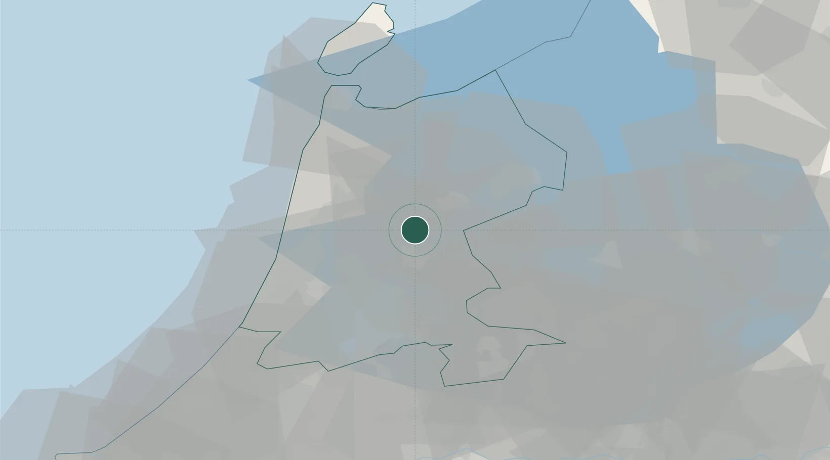
Place type
Populated place
Region
North Holland
Population
525
Time zone
Europe/Amsterdam
Elevation
0 m
Location
Nearby Logistics Neighbours
Cities
- 1Oosthuizen3 km
- 2Schermerhorn6 km
- 3Westbeemster6 km
- 4Berkhout6 km
- 5Zuidoostbeemster8 km
Ports
- 1Zaandam19 km
- 2Amsterdam25 km
- 3Ijmuiden29 km
- 4Den Helder44 km
- 5Scheveningen72 km
Airports
Trade Zones
- 1Freeport of Duisburg168 km
- 2Freeport of Emden171 km
- 3Rheinische Revier SWZ210 km
- 4ZFU Tourcoing242 km
- 5ZFU Hem et Roubaix245 km
DatabookThe Record of Consolidated Knowledge
Netherlands beyond logistics?