Transport Functions
Multimodal
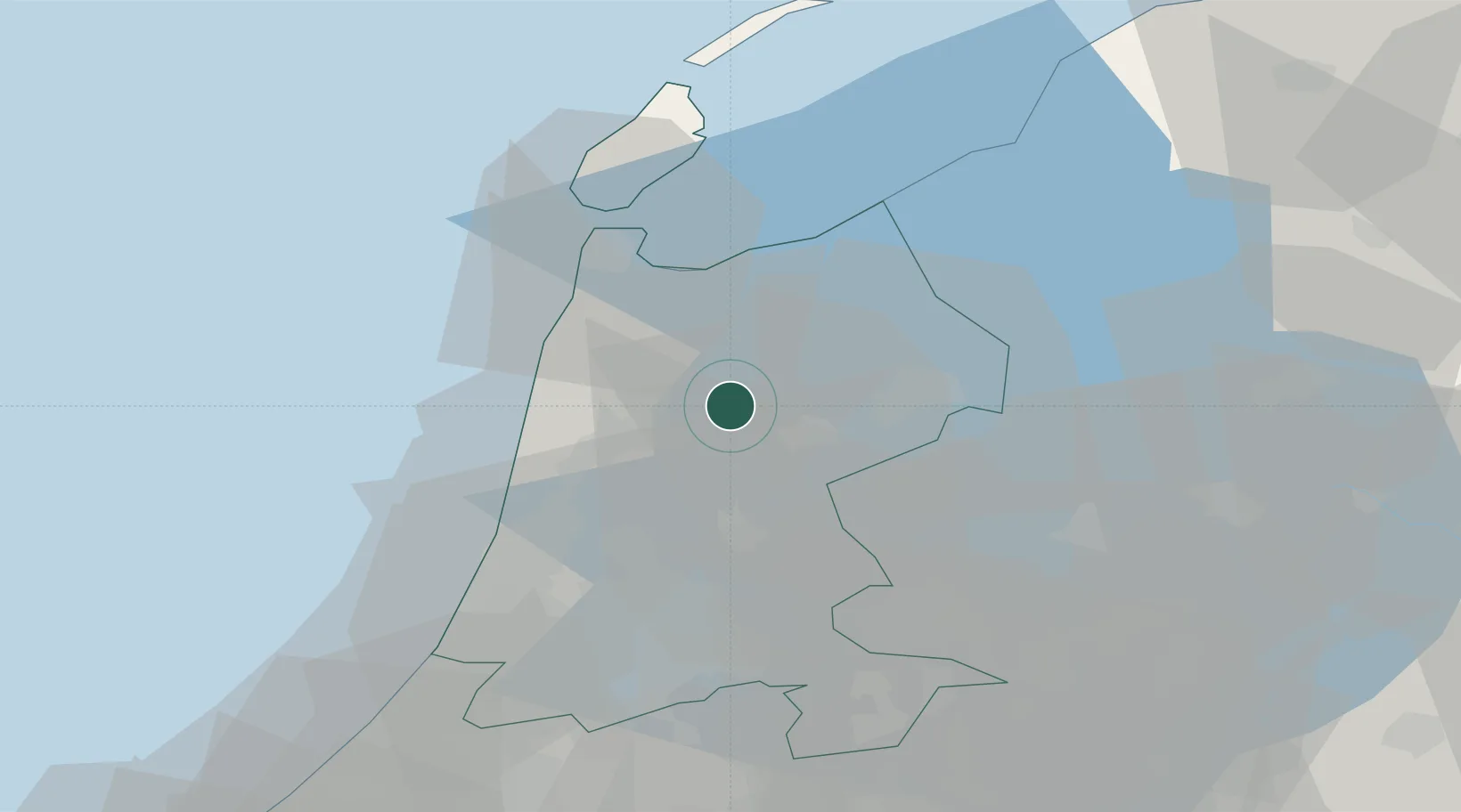
Hub Profile
Place type
Populated place
Region
North Holland
Population
11,183
Time zone
Europe/Amsterdam
Elevation
1 m
Location
Nearby Logistics Neighbours
Cities
- 1Hoogwoud2 km
- 2Berkhout8 km
- 3Rustenburg9 km
- 4't Kruis9 km
- 5De Strook10 km
Ports
- 1Zaandam31 km
- 2Den Helder32 km
- 3Ijmuiden36 km
- 4Amsterdam37 km
- 5Harlingen62 km
Airports
Trade Zones
- 1Freeport of Emden166 km
- 2Freeport of Duisburg179 km
- 3Rheinische Revier SWZ222 km
- 4ZFU Tourcoing252 km
- 5ZFU Hem et Roubaix255 km
DatabookThe Record of Consolidated Knowledge
Netherlands beyond logistics?