Small airport · Germany
Juist AirportEDWJ
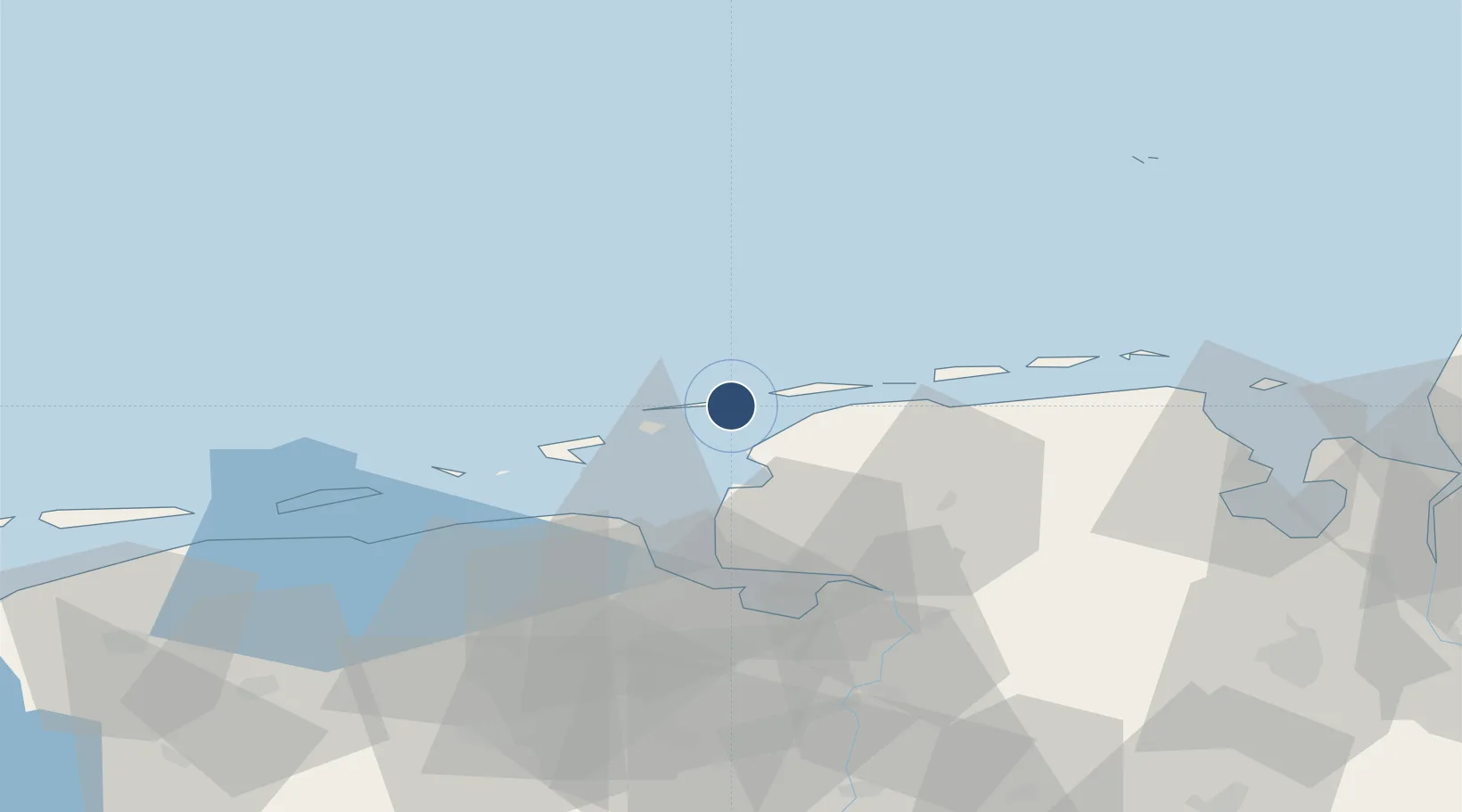
53.6814°, 7.0564°
2,296 ft
Longest runway
3
Runways
7 ft
Elevation
Runway & Layout

Radio Frequencies
AFIS
128.525 MHz
Langen Information
INFO
120.505 MHz
Juist Radio
Runways · 3
| Runway | Dimensions | Surface | True heading | Lit |
|---|---|---|---|---|
| 07/25 | 2,296 × 65ft | Paved | 073° | — |
| 12/30 | 1,558 × 98ft | Grass | 116° | — |
| 07G/25G | 1,404 × 98ft | Grass | 073° | — |
Airport Specifications
IATA code
JUI
ICAO code
EDWJ
Airport class
Small airport
Scheduled service
Yes
Runway surface
Paved
Served city
Juist
Location
Nearby Logistics Neighbours
Airports
- 1Norden-Norddeich Airport10 km
- 2Norderney Airport12 km
- 3Baltrum Airport21 km
- 4Borkum Airport25 km
- 5Emden Airport34 km
Cities
- 1Juist4 km
- 2Norddeich10 km
- 3Memmert12 km
- 4Nessmersiel19 km
- 5Greetsiel20 km
Trade Zones
DatabookThe Record of Consolidated Knowledge
Germany beyond logistics?