Transport Functions
Port
Road
Hub Profile
Place type
Populated place
Region
North Rhine-Westphalia
Time zone
Europe/Berlin
Elevation
18 m
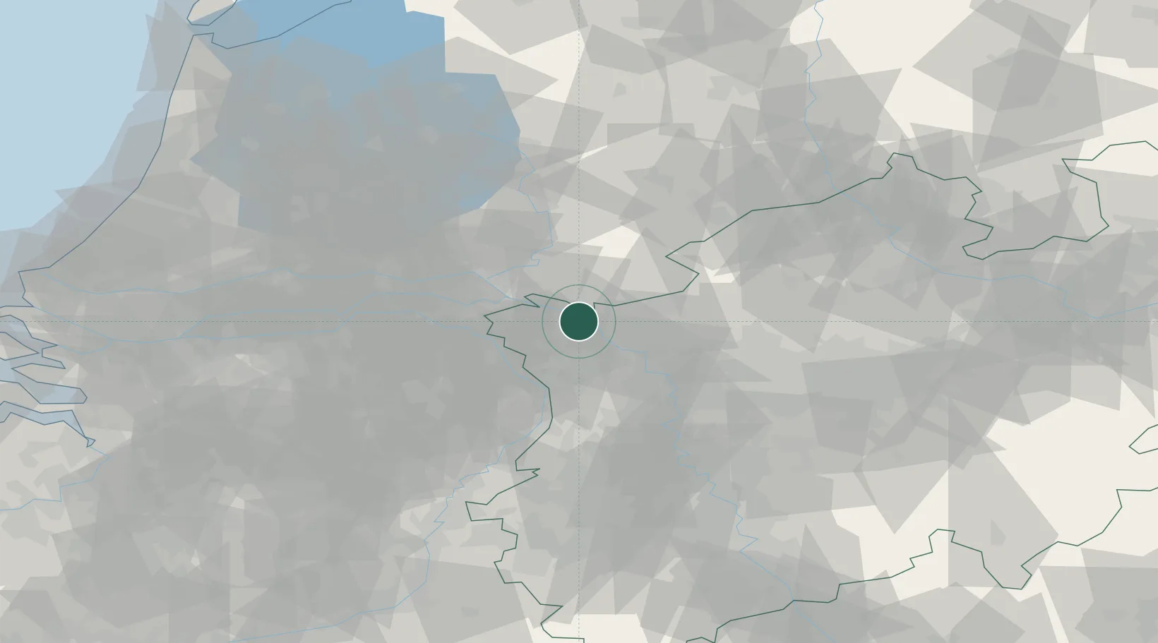
Location
Nearby Logistics Neighbours
Cities
- 1Kalkar6 km
- 2Emmerich7 km
- 3Azewijn11 km
- 4Kleve12 km
- 5's-Heerenberg12 km
Airports
- 1Weeze (Niederrhein) Airport24 km
- 2Deelen Air Base43 km
- 3Volkel Air Base44 km
- 4Mönchengladbach Airport63 km
- 5Düsseldorf Airport63 km
Trade Zones
- 1Freeport of Duisburg42 km
- 2Rheinische Revier SWZ97 km
- 3Freeport of Emden182 km
- 4Freeport of Bremerhaven (Freihafen Bremerhaven)221 km
- 5Luxembourg Free Port239 km
DatabookThe Record of Consolidated Knowledge
Germany beyond logistics?