Large airport · Germany
Düsseldorf AirportEDDL
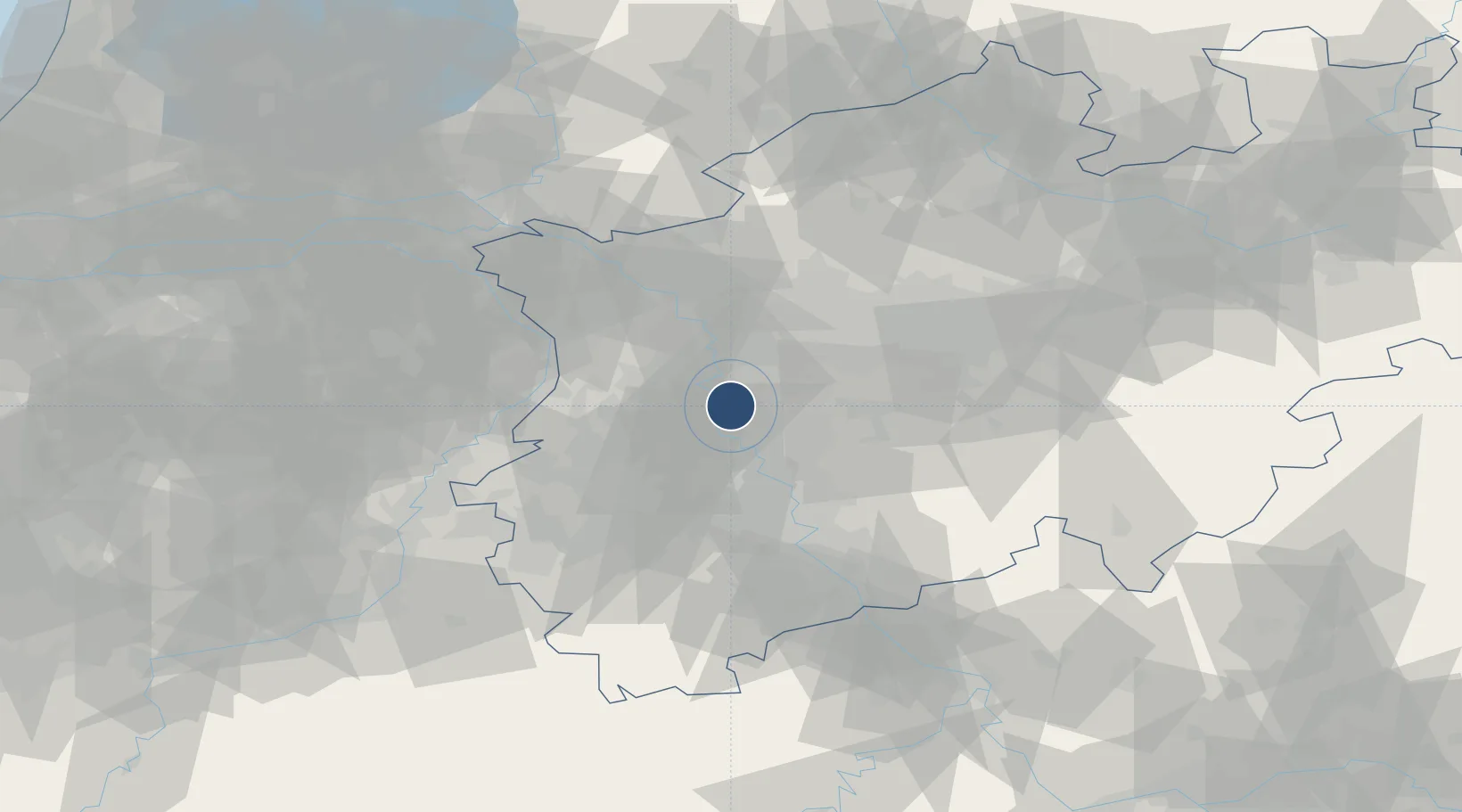
51.2895°, 6.7668°
9,842 ft
Longest runway
2
Runways
147 ft
Elevation
Runway & Layout

Radio Frequencies
ATIS
123.78 MHz
Duesseldorf ATIS
TWR
118.305 MHz
Duesseldorf Tower / Turm
GND
121.905 MHz
Duesseldorf Ground / Rollkontrolle
CLD
121.775 MHz
CLNC DEL
APP
128.65 MHz
DIR
ACC
128.55 MHz
LANGEN RADAR
AFIS
129.875 MHz
Langen Information
DELIVERY
121.78 MHz
Duesseldorf Delivery
MISC
135.225 MHz
DE ICING
Navaids
DUS VOR-DME Dusseldorf 115.15 MHz
Runways · 2
| Runway | Dimensions | Surface | True heading | Lit |
|---|---|---|---|---|
| 05R/23L | 9,842 × 148ft | Concrete | 053° | ✓ |
| 05L/23R | 8,858 × 148ft | Concrete | 053° | ✓ |
Airport Specifications
IATA code
DUS
ICAO code
EDDL
Airport class
Large airport
Scheduled service
Yes
Runway surface
Concrete
Served city
Düsseldorf
Location
Nearby Logistics Neighbours
Airports
- 1Mönchengladbach Airport19 km
- 2Nörvenich Air Base52 km
- 3Cologne Bonn Airport54 km
- 4Weeze (Niederrhein) Airport56 km
- 5Geilenkirchen Air Base62 km
Cities
- 1Lintorf Ratingen7 km
- 2Huckingen7 km
- 3Grafenberg/Düsseldorf8 km
- 4Düsseldorf8 km
- 5Krefeld10 km
Trade Zones
- 1Freeport of Duisburg21 km
- 2Rheinische Revier SWZ50 km
- 3Luxembourg Free Port188 km
- 4ZFU Ronde Couture225 km
- 5Freeport of Emden229 km
DatabookThe Record of Consolidated Knowledge
Germany beyond logistics?