Transport Functions
Port
Rail
Road
Multimodal
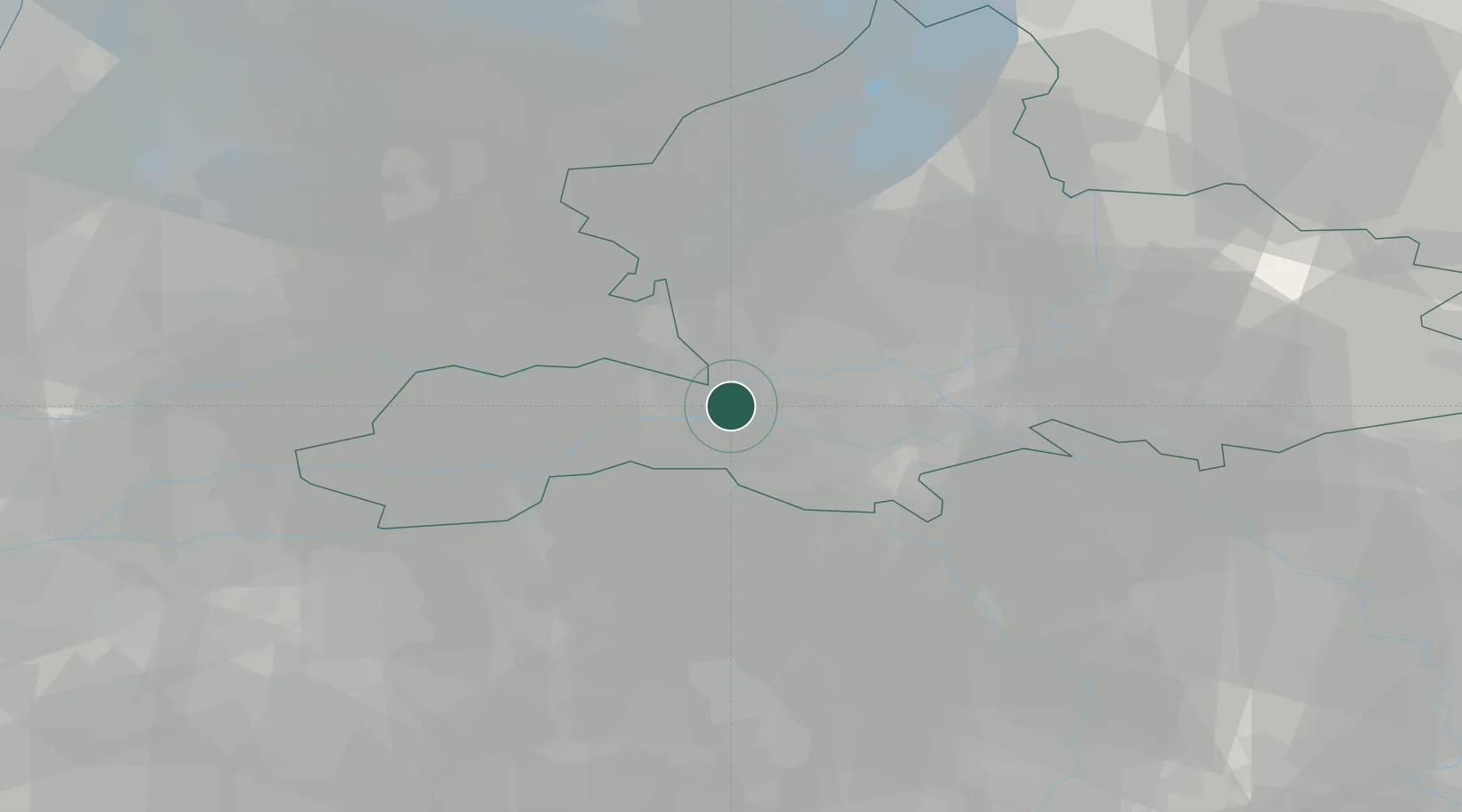
Hub Profile
Place type
Populated place
Region
Gelderland
Time zone
Europe/Amsterdam
Elevation
8 m
Location
Nearby Logistics Neighbours
Cities
- 1Deest4 km
- 2Neder-Betuwe6 km
- 3Ewijk8 km
- 4Aalst9 km
- 5Beuningen11 km
Airports
- 1Deelen Air Base22 km
- 2Volkel Air Base29 km
- 3Weeze (Niederrhein) Airport49 km
- 4Eindhoven Airport55 km
- 5Lelystad Airport60 km
Trade Zones
- 1Freeport of Duisburg83 km
- 2Rheinische Revier SWZ123 km
- 3Freeport of Emden189 km
- 4ZFU Condé sur lEscaut217 km
- 5ZFU Tourcoing218 km
DatabookThe Record of Consolidated Knowledge
Netherlands beyond logistics?