Specialized Zone · North Korea
Mubong Special Zone for International Tourism Active
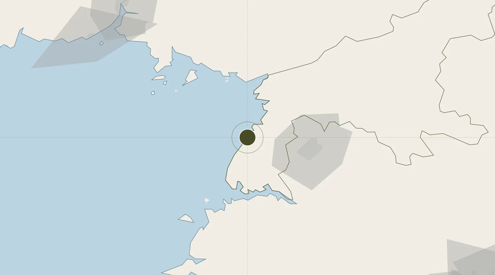
39.1167°, 125.2978°
2,000 ha
Zone area
45.3 km
Nearest port
34.2 km
Nearest airport
Gateway access
Zone profile
Zone type
Specialized Zone
Specialization
Tourism
Region
P'yŏngan-namdo
Status
Active
Management
Public
Operator
Ministry of External Economic Relations
Legal framework
Labour Regulations for Foreign-Funded Enterprises in FETZ (Adopted as decision NO.8 of the Administration Council of the DPRK dated on December 3, 1993) The Law of the Democratic People's Republic of Korea on the Rason Economic and Trade Zone; North Korea
Location
Nearby Logistics Neighbours
Ports
- 1Nampo45 km
- 2Kyomip'o51 km
- 3Dandong126 km
- 4Haeju Hang129 km
- 5Wonsan186 km
Airports
- 1Pyongyang Sunan International Airport34 km
- 2Uthachi Highway Strip Airport51 km
- 3Sunchon Air Base61 km
- 4Hwangju Airbase67 km
- 5Kwaksan Air Base70 km
DatabookThe Record of Consolidated Knowledge
North Korea beyond logistics?