Transport Functions
Port
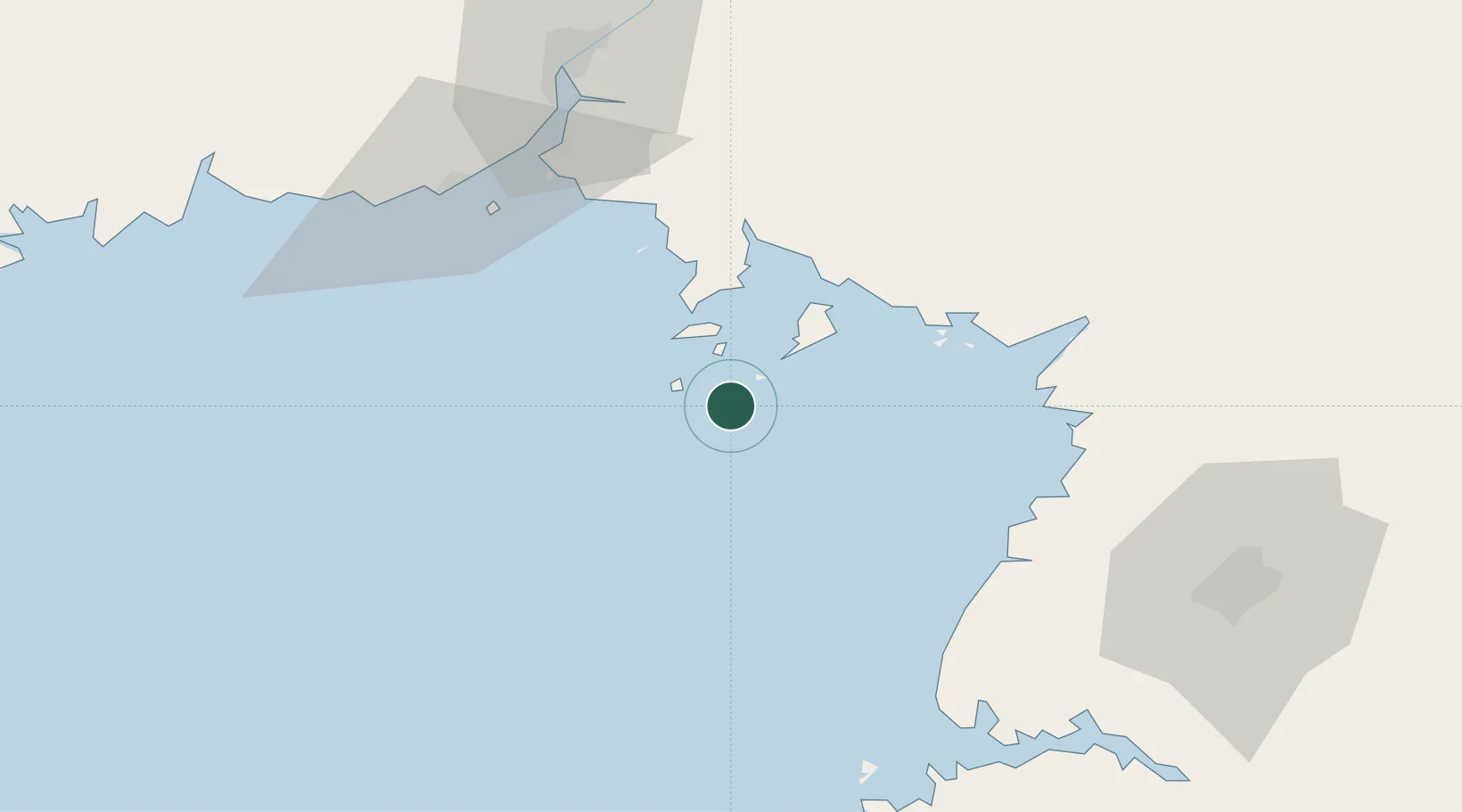
Location
Nearby Logistics Neighbours
Cities
- 1Donggang73 km
- 2Dandong85 km
- 3Dandong87 km
- 4Dalu Island93 km
- 5Songnim103 km
Ports
- 1Dandong67 km
- 2Nampo96 km
- 3Kyomip'o107 km
- 4Haeju Hang178 km
- 5Wonsan237 km
Airports
- 1Kwaksan Air Base50 km
- 2Dandong Langtou International Airport79 km
- 3Pyongyang Sunan International Airport84 km
- 4Sunchon Air Base101 km
- 5Pukchang Air Base108 km
DatabookThe Record of Consolidated Knowledge
North Korea beyond logistics?