Export Processing Zone · North Korea
Kangnam International Development Park Active
38.9022°, 125.6425°
3,950 ha
Zone area
18.9 km
Nearest port
15.5 km
Nearest airport
Gateway access
Zone profile
Zone type
Export Processing Zone
Region
P'yŏngyang
Status
Active
Management
Public
Operator
Ministry of External Economic Relations
Legal framework
Labour Regulations for Foreign-Funded Enterprises in FETZ (Adopted as decision NO.8 of the Administration Council of the DPRK dated on December 3, 1993) The Law of the Democratic People’s Republic of Korea on the Rason Economic and Trade Zone; North Korea
Location
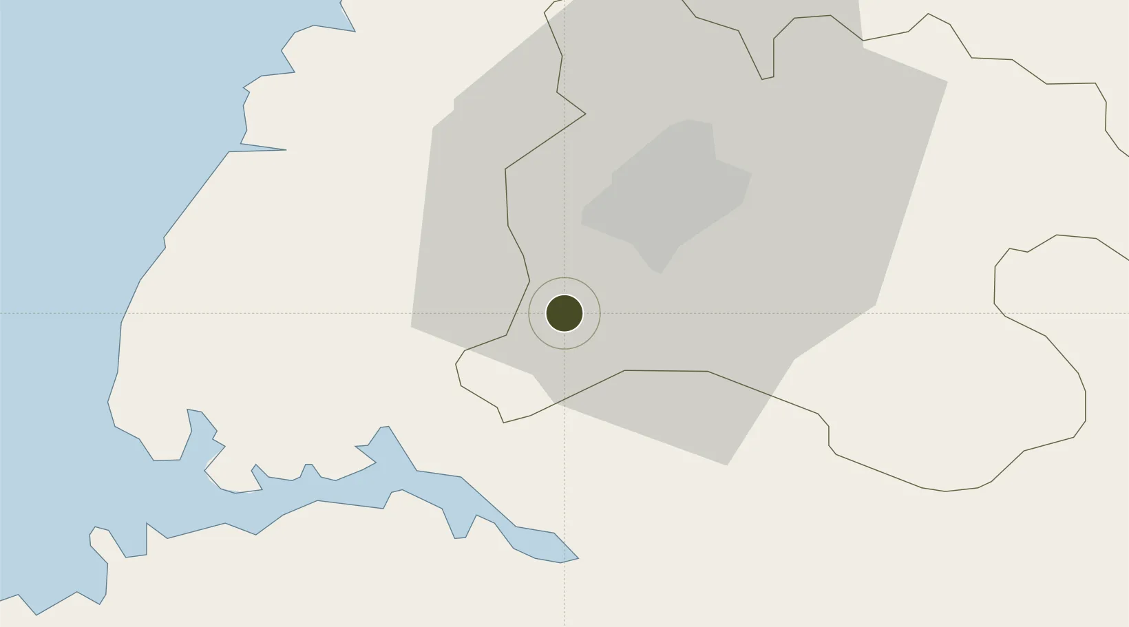
Nearby Logistics Neighbours
Ports
- 1Kyomip'o19 km
- 2Nampo29 km
- 3Haeju Hang100 km
- 4Wonsan159 km
- 5Dandong164 km
Airports
- 1Uthachi Highway Strip Airport16 km
- 2Hwangju Airbase30 km
- 3Pyongyang Sunan International Airport36 km
- 4Sunchon Air Base61 km
- 5Pukchang Air Base73 km
Cities
- 1Songnim16 km
- 2Panjang66 km
- 3Samcha do97 km
- 4Yonggipo133 km
- 5Yeonpyeongdo139 km
DatabookThe Record of Consolidated Knowledge
North Korea beyond logistics?