Transport Functions
Rail
Road
Hub Profile
Place type
Provincial seat
Region
Fukushima
Population
118,159
Time zone
Asia/Tokyo
Elevation
238 m
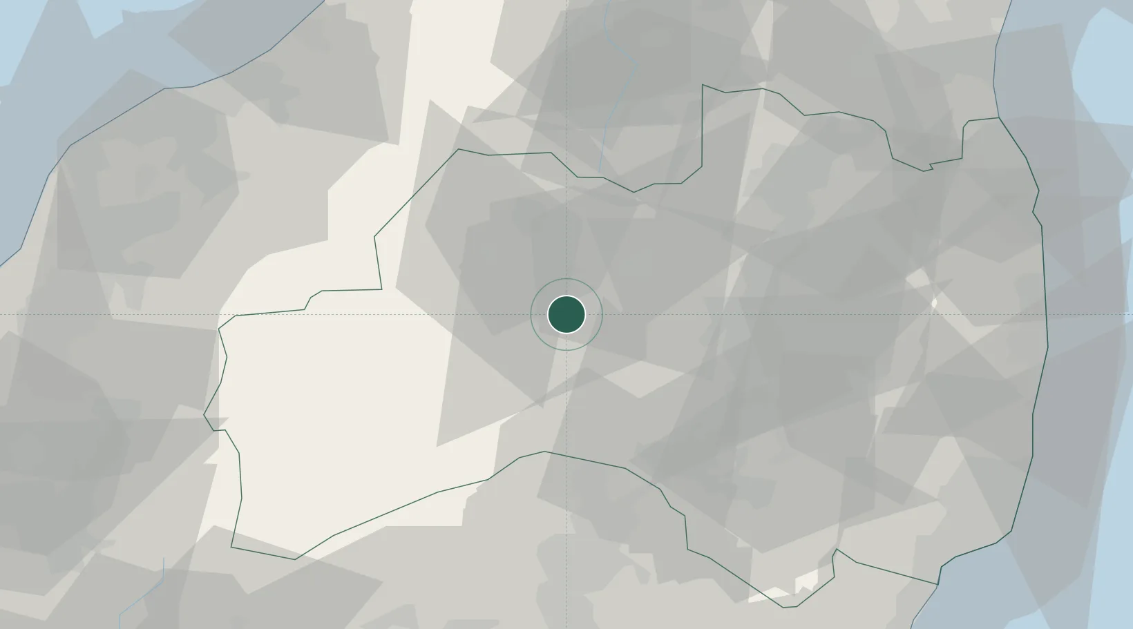
Location
Nearby Logistics Neighbours
Cities
- 1Bandai, Fukushima11 km
- 2Aizumisato, Fukushima12 km
- 3Kitakata, Fukushima24 km
- 4Aizubange, Fukushima26 km
- 5Nihonmatsu42 km
Ports
- 1Eastern Part Of Niigata-Ko90 km
- 2Niigata Ko96 km
- 3Soma97 km
- 4Onahama Ko101 km
- 5Hitachi121 km
Airports
- 1Fukushima Airport48 km
- 2Niigata Airport94 km
- 3Utsunomiya Airport104 km
- 4Yamagata Airport113 km
- 5Sendai Airport113 km
DatabookThe Record of Consolidated Knowledge
Japan beyond logistics?