UN/LOCODE hub · Japan
JPTSE

Tome-Shi

38.6500°, 141.2833°
1
Transport functions

Transport Functions

Multimodal
UN/LOCODE

Hub Profile

Region
04
GeoNames

Location

Location of JPTSE
Natural Earth 10m (public domain) · 04 · JPTSE · 38.65, 141.28GoogleOSMYandex

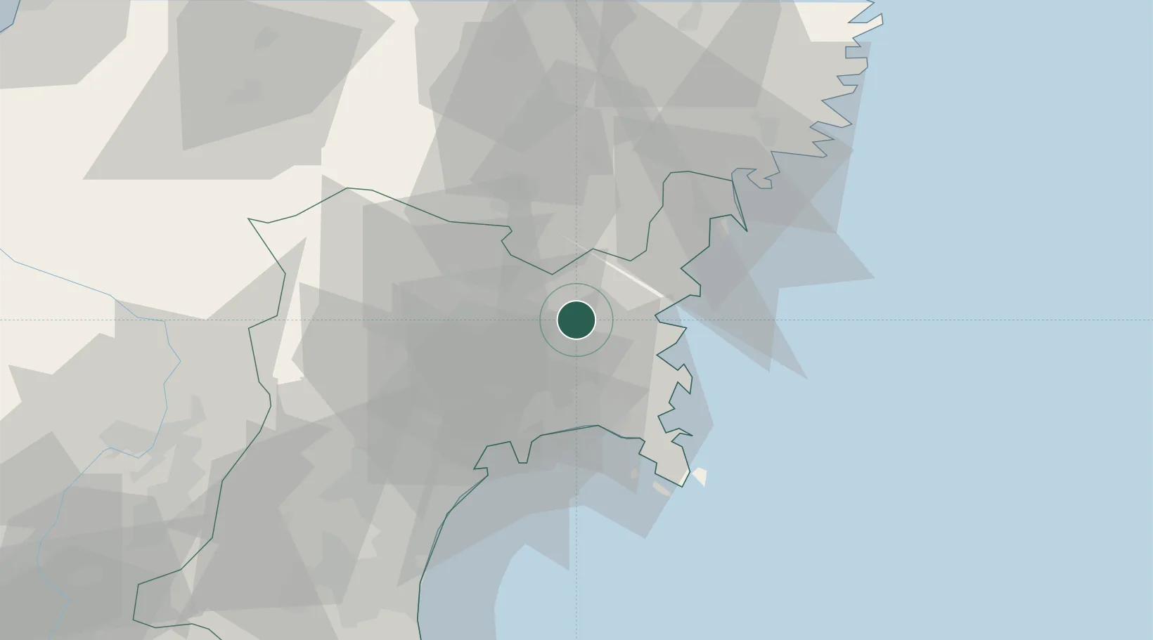
Nearby Logistics Neighbours

Cities
  1. 1Tomiya46 km
  2. 2Sendaishiogama48 km
  3. 3Sendai, Miyagi48 km
  4. 4Oshu55 km
  5. 5Ofunato60 km
Nearest neighbours — logibook spatial index (haversine) over the source coordinates
Ports
  1. 1Onagawa27 km
  2. 2Ishinomaki Ko28 km
  3. 3Kesennuma Ko37 km
  4. 4Sendai-Shiogama43 km
  5. 5Ofunato59 km
Nearest neighbours — logibook spatial index (haversine) over the source coordinates
Airports
  1. 1JASDF Matsushima Air Base28 km
  2. 2Sendai Airport65 km
  3. 3Yamagata Airport84 km
  4. 4Iwate Hanamaki Airport88 km
  5. 5Shonai Airport131 km
Nearest neighbours — logibook spatial index (haversine) over the source coordinates
DatabookThe Record of Consolidated Knowledge
Japan beyond logistics?
Browse databook

All Sources

LocationsUN/LOCODE
UN/LOCODE — free
Portsthe NGA World Port Index
Public domain (US gov)
AirportsOurAirports
Public domain
Trade Zonesthe World Bank SEZ database
CC BY 4.0
Trade ZonesOpen Zone Map
CC BY
← Japan locations