Transport Functions
Multimodal
Hub Profile
Place type
Provincial seat
Region
Tochigi
Population
77,661
Time zone
Asia/Tokyo
Elevation
555 m
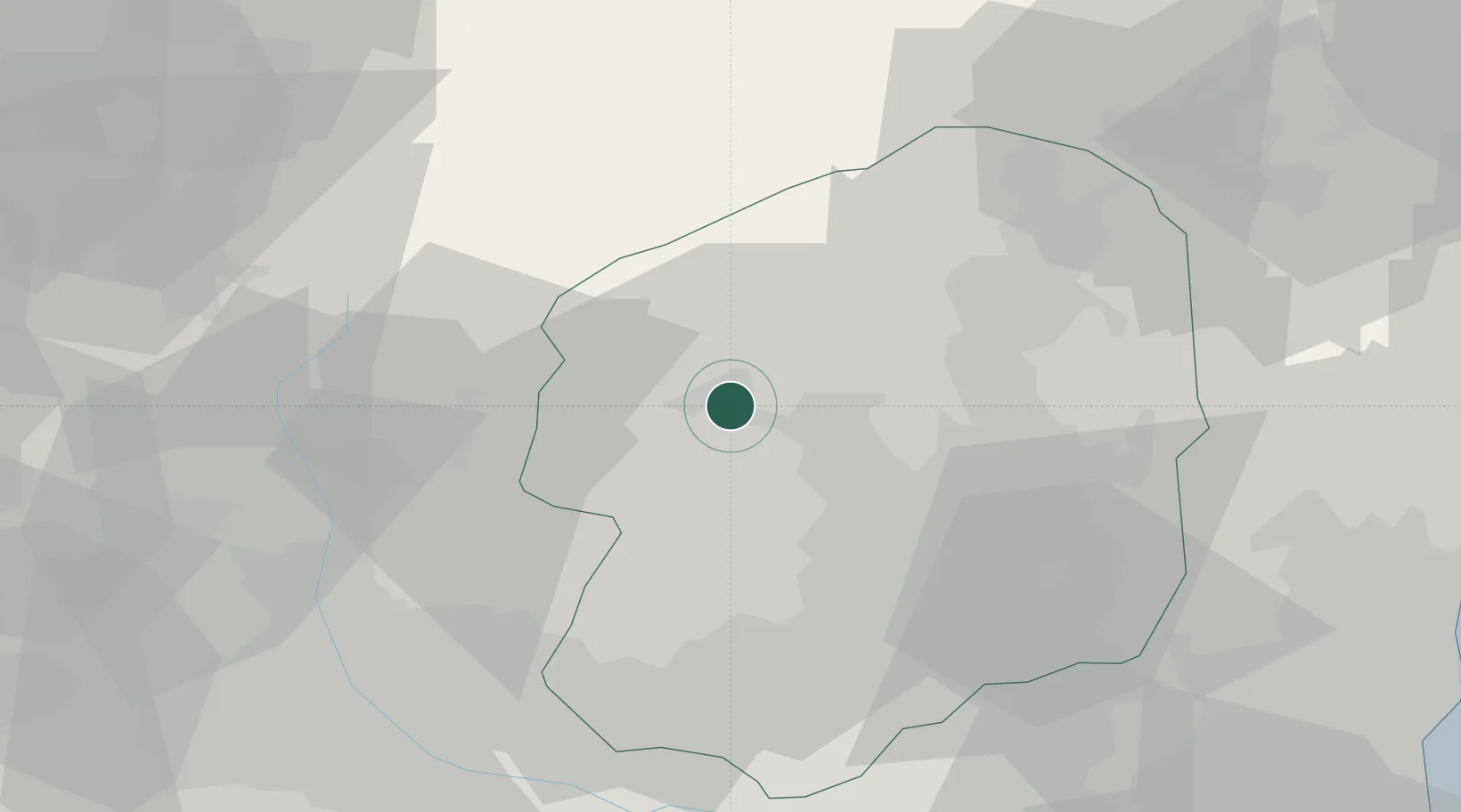
Location
Nearby Logistics Neighbours
Cities
- 1Kanuma24 km
- 2Otawara39 km
- 3Kawaba45 km
- 4Kiryu46 km
- 5Nasushiobara47 km
Ports
- 1Hitachi96 km
- 2Kashiwazaki116 km
- 3Onahama Ko118 km
- 4Tokyo Ko121 km
- 5Funabashi125 km
Airports
- 1Utsunomiya Airport36 km
- 2Fukushima Airport91 km
- 3Ibaraki International Airport96 km
- 4Iruma Air Base102 km
- 5JMSDF Shimofusa Air Base112 km
Trade Zones
- 1Gunma Environmentally Friendly Livestock Promotion Special Zone60 km
- 2Gunma Cancer Treatment Technology Regional Revitalization Comprehensive Special Zone61 km
- 3Saitama Next-Generation Automobile Smart Energy Special Zone94 km
- 4Tsukuba International Strategic Comprehensive Special Zone98 km
- 5Kashiwanoha Campus Special Zone100 km
DatabookThe Record of Consolidated Knowledge
Japan beyond logistics?