Transport Functions
Multimodal
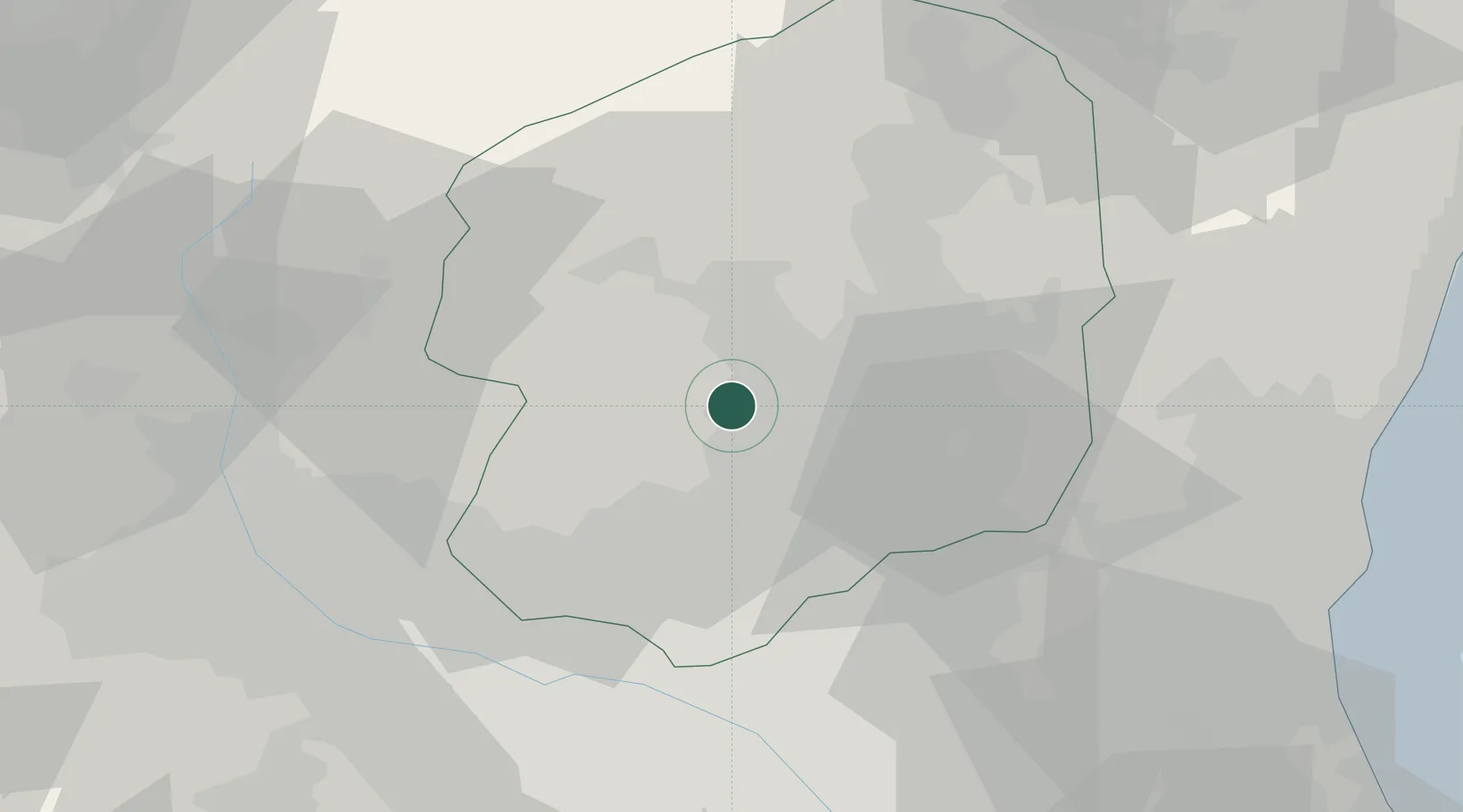
Hub Profile
Place type
Provincial seat
Region
Tochigi
Population
94,903
Time zone
Asia/Tokyo
Elevation
162 m
Location
Nearby Logistics Neighbours
Ports
- 1Hitachi81 km
- 2Tokyo Ko100 km
- 3Funabashi102 km
- 4Onahama Ko112 km
- 5Kashima Ko112 km
Airports
- 1Utsunomiya Airport14 km
- 2Ibaraki International Airport75 km
- 3Iruma Air Base86 km
- 4JMSDF Shimofusa Air Base89 km
- 5Fukushima Airport96 km
Trade Zones
- 1Gunma Cancer Treatment Technology Regional Revitalization Comprehensive Special Zone63 km
- 2Gunma Environmentally Friendly Livestock Promotion Special Zone72 km
- 3Saitama Next-Generation Automobile Smart Energy Special Zone74 km
- 4Tsukuba International Strategic Comprehensive Special Zone75 km
- 5Kashiwanoha Campus Special Zone78 km
DatabookThe Record of Consolidated Knowledge
Japan beyond logistics?