Transport Functions
Multimodal
Hub Profile
Place type
Provincial seat
Region
Ibaraki
Population
73,061
Time zone
Asia/Tokyo
Elevation
4 m
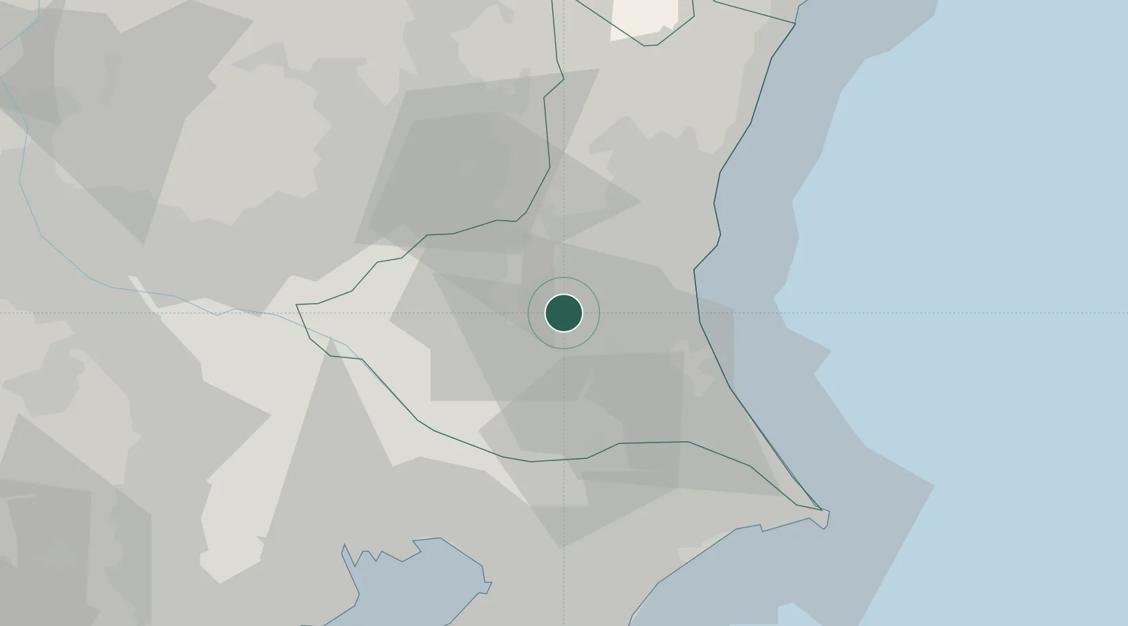
Location
Nearby Logistics Neighbours
Cities
- 1Chiyoda6 km
- 2Omitama9 km
- 3Kasumigaura17 km
- 4Kasama22 km
- 5Chikusei29 km
Ports
- 1Kashima Ko48 km
- 2Hitachi48 km
- 3Funabashi64 km
- 4Chiba Ko69 km
- 5Choshi73 km
Airports
DatabookThe Record of Consolidated Knowledge
Japan beyond logistics?