Transport Functions
Multimodal
Hub Profile
Place type
Populated place
Region
Niigata
Time zone
Asia/Tokyo
Elevation
3 m
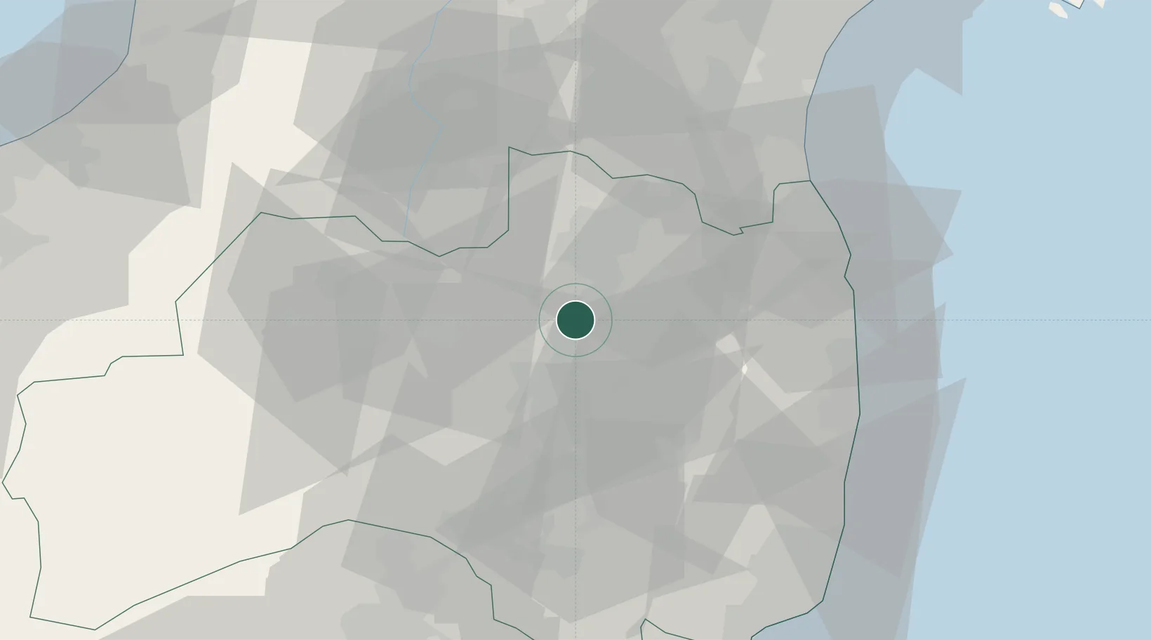
Location
Nearby Logistics Neighbours
Cities
- 1Tamura21 km
- 2Bandai, Fukushima38 km
- 3Aizuwakamatsu42 km
- 4Yonezawa46 km
- 5Kitakata, Fukushima49 km
Ports
- 1Soma55 km
- 2Onahama Ko84 km
- 3Sendai-Shiogama98 km
- 4Eastern Part Of Niigata-Ko115 km
- 5Ishinomaki Ko120 km
Airports
- 1Fukushima Airport40 km
- 2Sendai Airport76 km
- 3Yamagata Airport92 km
- 4JASDF Matsushima Air Base115 km
- 5Niigata Airport122 km
DatabookThe Record of Consolidated Knowledge
Japan beyond logistics?