Transport Functions
Multimodal
Hub Profile
Region
07
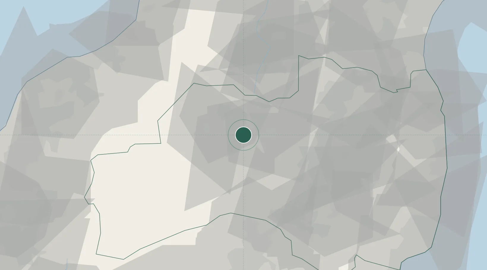
Location
Nearby Logistics Neighbours
Cities
- 1Aizuwakamatsu11 km
- 2Kitakata, Fukushima15 km
- 3Aizumisato, Fukushima17 km
- 4Aizubange, Fukushima18 km
- 5Nihonmatsu38 km
Ports
- 1Eastern Part Of Niigata-Ko84 km
- 2Soma91 km
- 3Niigata Ko92 km
- 4Onahama Ko106 km
- 5Sendai-Shiogama126 km
Airports
- 1Fukushima Airport53 km
- 2Niigata Airport89 km
- 3Yamagata Airport102 km
- 4Sendai Airport105 km
- 5Utsunomiya Airport116 km
DatabookThe Record of Consolidated Knowledge
Japan beyond logistics?