Transport Functions
Port
Hub Profile
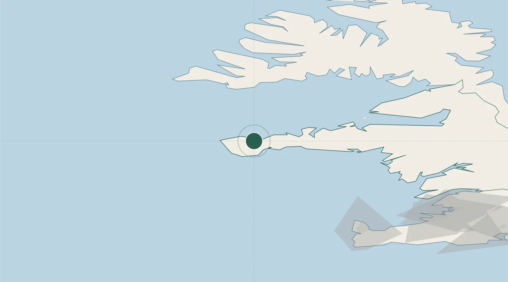
Place type
Populated place
Region
West
Population
1,010
Time zone
Atlantic/Reykjavik
Location
Nearby Logistics Neighbours
Cities
- 1Flatey65 km
- 2Brjánslækur76 km
- 3Reykhólar95 km
- 4Budardalur95 km
- 5Grundartangi109 km
Ports
- 1Grundarfjordur23 km
- 2Stykkisholmur51 km
- 3Patreksfjordur81 km
- 4Bildudalur89 km
- 5Borgarnes93 km
Airports
- 1Bildudalur Airport85 km
- 2Keflavik International Airport113 km
- 3Reykjavík Domestic Airport120 km
- 4Ísafjörður Airport133 km
- 5Vestmannaeyjar Airport233 km
Trade Zones
DatabookThe Record of Consolidated Knowledge
Iceland beyond logistics?