Medium airport · Iceland

Reykjavík Domestic AirportBIRK
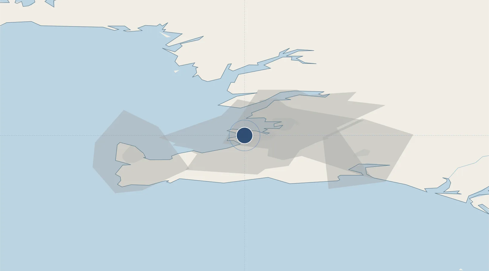
64.1287°, -21.9376°
5,138 ft
Longest runway
2
Runways
48 ft
Elevation

Runway & Layout

Reykjavík Domestic Airport runway & taxiway layout
Runway & taxiway layout — OpenStreetMap (ODbL) / OurAirports

Radio Frequencies

ATIS
128.1 MHz
TWR
118 MHz
GND
121.7 MHz
A/D
119 MHz
APP/DEP
RDO
126.55 MHz
OurAirports

Navaids

GF NDB Grof 319 kHz
RK NDB Reykjavik 355 kHz
SA NDB Skagi 379 kHz
OurAirports

Runways · 2

RunwayDimensions SurfaceTrue headingLit
01/19 5,138 × 148ft Asphalt 355°
13/31 4,035 × 148ft Asphalt 117°
OurAirports

Airport Specifications

IATA code
RKV
OurAirports
ICAO code
BIRK
OurAirports
Airport class
Medium airport
OurAirports
Scheduled service
Yes
OurAirports
Runway surface
Asphalt
OurAirports
Served city
Reykjavík
OurAirports

Location

Location of BIRK
Natural Earth 10m (public domain) · Reykjavík · BIRK · 64.13, -21.94GoogleOSMYandex

Nearby Logistics Neighbours

Airports
  1. 1Keflavik International Airport36 km
  2. 2Vestmannaeyjar Airport113 km
  3. 3Bildudalur Airport185 km
  4. 4Ísafjörður Airport222 km
  5. 5Akureyri International Airport249 km
Nearest neighbours — logibook spatial index (haversine) over the source coordinates
Cities
  1. 1Kópavogur3 km
  2. 2Reykjavík4 km
  3. 3Mosfellsbaer12 km
  4. 4Grundartangi26 km
  5. 5Vogar27 km
Nearest neighbours — logibook spatial index (haversine) over the source coordinates
Ports
  1. 1Kopavogur2 km
  2. 2Reykjavik2 km
  3. 3Skerjafjordur5 km
  4. 4Hafnarfjordur7 km
  5. 5Straumsvik10 km
Nearest neighbours — logibook spatial index (haversine) over the source coordinates
Trade Zones
  1. 1Prestwick Airport Free Zone1354 km
  2. 2Carlisle Kingmoor Park Enterprise Zone1469 km
  3. 3Shannon Free Zone1474 km
  4. 4Isle of Man Free Zone and Business Park1481 km
  5. 5Dublin International Financial Services Centre1493 km
Nearest neighbours — logibook spatial index (haversine) over the source coordinates
DatabookThe Record of Consolidated Knowledge
Iceland beyond logistics?
Browse databook

All Sources

AirportsOurAirports
Public domain
Portsthe NGA World Port Index
Public domain (US gov)
LocationsUN/LOCODE
UN/LOCODE — free
Trade Zonesthe World Bank SEZ database
CC BY 4.0
Trade ZonesOpen Zone Map
CC BY
InfrastructureOpenStreetMap
ODbL 1.0
← Iceland airports