Seaport · Iceland

BorgarnesISBOR

64.5500°, -21.9167°

Channel & Berth Profile

NGA World Port Index

Facilities & Capabilities

Container
Ro-Ro
Liquid bulk
Dry bulk
Oil terminal
Break bulk
Dry dock
Repairs
Bunkering
Rail link
Dangerous cargo
ISPS security
NGA World Port Index

Harbour Specifications

Water body
North Atlantic Ocean
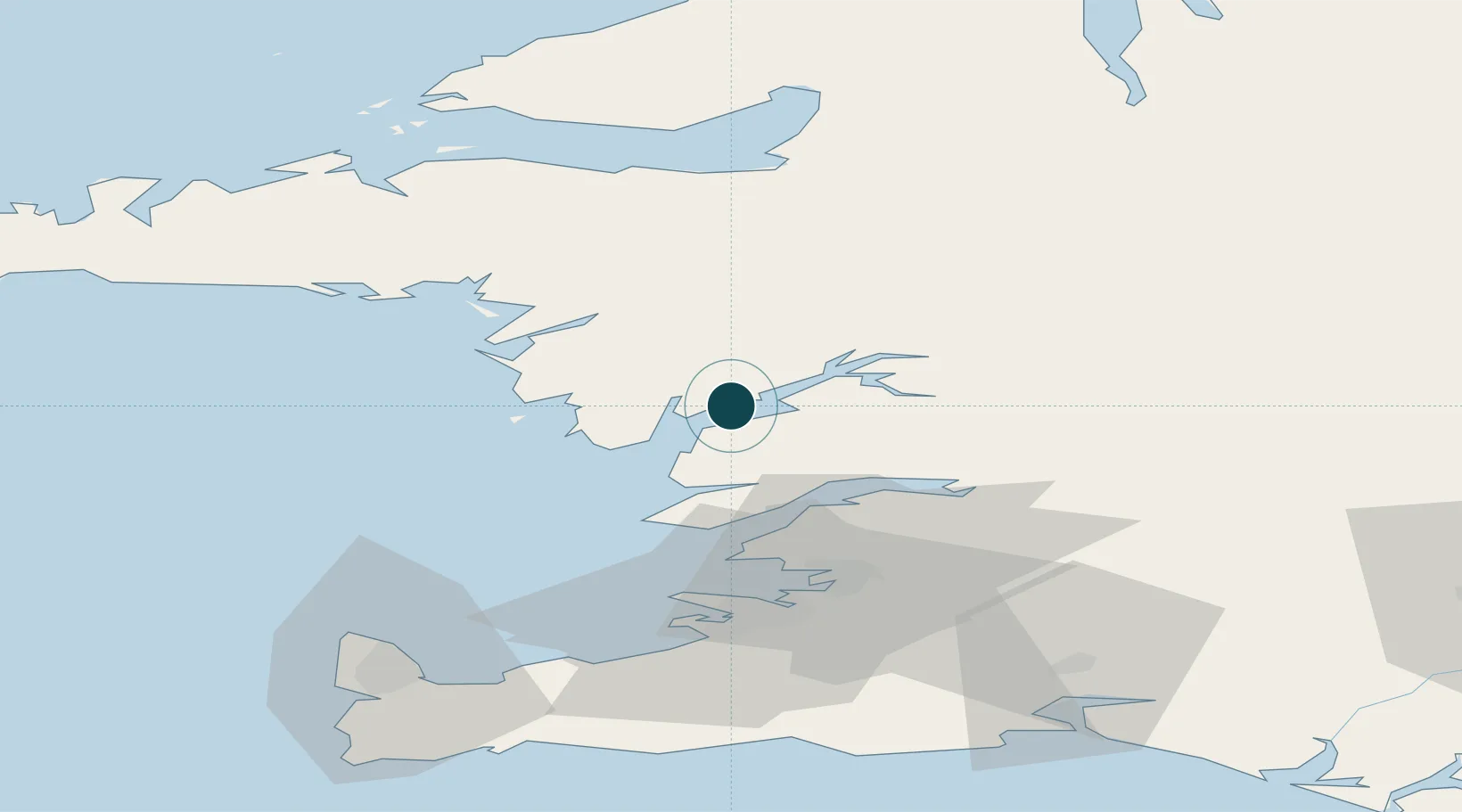
NGA World Port Index

Location

Location of ISBOR
Natural Earth 10m (public domain) · Vesturland · ISBOR · 64.55, -21.92GoogleOSMYandex

Nearby Logistics Neighbours

Ports
  1. 1Litlisandur29 km
  2. 2Grundartangi32 km
  3. 3Reykjavik45 km
  4. 4Skerjafjordur45 km
  5. 5Kopavogur48 km
Nearest neighbours — logibook spatial index (haversine) over the source coordinates
Cities
  1. 1Grundartangi22 km
  2. 2Litli Sandur28 km
  3. 3Mosfellsbaer44 km
  4. 4Reykjavík46 km
  5. 5Kópavogur50 km
Nearest neighbours — logibook spatial index (haversine) over the source coordinates
Airports
  1. 1Reykjavík Domestic Airport47 km
  2. 2Keflavik International Airport71 km
  3. 3Bildudalur Airport143 km
  4. 4Vestmannaeyjar Airport149 km
  5. 5Ísafjörður Airport177 km
Nearest neighbours — logibook spatial index (haversine) over the source coordinates
Trade Zones
  1. 1Prestwick Airport Free Zone1382 km
  2. 2Carlisle Kingmoor Park Enterprise Zone1496 km
  3. 3Shannon Free Zone1511 km
  4. 4Isle of Man Free Zone and Business Park1511 km
  5. 5Dublin International Financial Services Centre1527 km
Nearest neighbours — logibook spatial index (haversine) over the source coordinates
DatabookThe Record of Consolidated Knowledge
Iceland beyond logistics?
Browse databook

All Sources

Portsthe NGA World Port Index
Public domain (US gov)
AirportsOurAirports
Public domain
LocationsUN/LOCODE
UN/LOCODE — free
Trade Zonesthe World Bank SEZ database
CC BY 4.0
Trade ZonesOpen Zone Map
CC BY
← Iceland ports