Medium airport · Iceland

Ísafjörður AirportBIIS
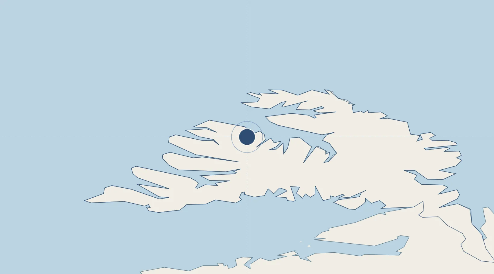
66.0581°, -23.1353°
4,593 ft
Longest runway
1
Runways
8 ft
Elevation

Runway & Layout

Ísafjörður Airport runway & taxiway layout
Runway & taxiway layout — OpenStreetMap (ODbL) / OurAirports

Radio Frequencies

ACC
119.7 MHz
REYKJAVIK ACC
AFIS
118.8 MHz
INFO
OurAirports

Navaids

IS NDB Isafjordur 385 kHz
OurAirports

Runways · 1

RunwayDimensions SurfaceTrue headingLit
07/25 4,593 × 148ft Asphalt 062°
OurAirports

Airport Specifications

IATA code
IFJ
OurAirports
ICAO code
BIIS
OurAirports
Airport class
Medium airport
OurAirports
Scheduled service
Yes
OurAirports
Runway surface
Asphalt
OurAirports
Served city
Ísafjörður
OurAirports

Location

Location of BIIS
Natural Earth 10m (public domain) · Vestfirðir · BIIS · 66.06, -23.14GoogleOSMYandex

Nearby Logistics Neighbours

Airports
  1. 1Bildudalur Airport50 km
  2. 2Siglufjörður Airport191 km
  3. 3Reykjavík Domestic Airport222 km
  4. 4Keflavik International Airport232 km
  5. 5Akureyri International Airport235 km
Nearest neighbours — logibook spatial index (haversine) over the source coordinates
Cities
  1. 1Bolungarvik10 km
  2. 2Brjánslækur58 km
  3. 3Flatey77 km
  4. 4Reykhólar80 km
  5. 5Ospakseyri103 km
Nearest neighbours — logibook spatial index (haversine) over the source coordinates
Ports
  1. 1Isafjordur1 km
  2. 2Bolungarvik13 km
  3. 3Thingeyri25 km
  4. 4Bildudalur47 km
  5. 5Patreksfjordur64 km
Nearest neighbours — logibook spatial index (haversine) over the source coordinates
Trade Zones
  1. 1Prestwick Airport Free Zone1533 km
  2. 2Carlisle Kingmoor Park Enterprise Zone1643 km
  3. 3Isle of Man Free Zone and Business Park1667 km
  4. 4Shannon Free Zone1681 km
  5. 5Dublin International Financial Services Centre1689 km
Nearest neighbours — logibook spatial index (haversine) over the source coordinates
DatabookThe Record of Consolidated Knowledge
Iceland beyond logistics?
Browse databook

All Sources

AirportsOurAirports
Public domain
Portsthe NGA World Port Index
Public domain (US gov)
LocationsUN/LOCODE
UN/LOCODE — free
Trade Zonesthe World Bank SEZ database
CC BY 4.0
Trade ZonesOpen Zone Map
CC BY
InfrastructureOpenStreetMap
ODbL 1.0
← Iceland airports