Medium airport · Iceland

Vestmannaeyjar AirportBIVM
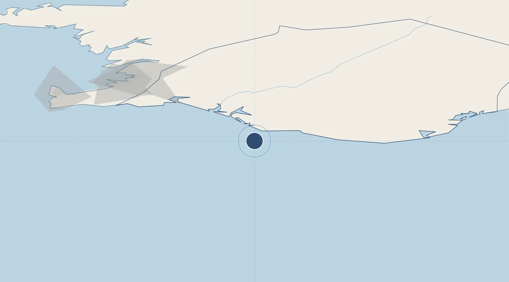
63.4243°, -20.2789°
3,937 ft
Longest runway
2
Runways
326 ft
Elevation

Runway & Layout

Vestmannaeyjar Airport runway & taxiway layout
Runway & taxiway layout — OpenStreetMap (ODbL) / OurAirports

Radio Frequencies

TWR
118.5 MHz
DEP
119 MHz
REYKJAVIK DEP
ACC
119.7 MHz
REYKJAVIK ACC
OurAirports

Navaids

HL NDB Helgafell 345 kHz
HL DME Helgafell 110.70 MHz
VM NDB Vestmannaeyjar 375 kHz
OurAirports

Runways · 2

RunwayDimensions SurfaceTrue headingLit
12/30 3,937 × 148ft Asphalt 110°
03/21 3,806 × 148ft Asphalt 019°
OurAirports

Airport Specifications

IATA code
VEY
OurAirports
ICAO code
BIVM
OurAirports
Airport class
Medium airport
OurAirports
Scheduled service
No
OurAirports
Runway surface
Asphalt
OurAirports
Served city
Vestmannaeyjar
OurAirports

Location

Location of BIVM
Natural Earth 10m (public domain) · Suðurland · BIVM · 63.42, -20.28GoogleOSMYandex

Nearby Logistics Neighbours

Airports
  1. 1Reykjavík Domestic Airport113 km
  2. 2Keflavik International Airport131 km
  3. 3Hornafjörður Airport266 km
  4. 4Akureyri International Airport270 km
  5. 5Bildudalur Airport292 km
Nearest neighbours — logibook spatial index (haversine) over the source coordinates
Cities
  1. 1Mosfellsbaer109 km
  2. 2Kópavogur110 km
  3. 3Reykjavík111 km
  4. 4Grindavík116 km
  5. 5Vogar121 km
Nearest neighbours — logibook spatial index (haversine) over the source coordinates
Ports
  1. 1Vestmannaeyjar1 km
  2. 2Thorlakshofn72 km
  3. 3Hafnarfjordur109 km
  4. 4Straumsvik112 km
  5. 5Kopavogur113 km
Nearest neighbours — logibook spatial index (haversine) over the source coordinates
Trade Zones
  1. 1Prestwick Airport Free Zone1242 km
  2. 2Carlisle Kingmoor Park Enterprise Zone1357 km
  3. 3Shannon Free Zone1363 km
  4. 4Isle of Man Free Zone and Business Park1368 km
  5. 5Dublin International Financial Services Centre1381 km
Nearest neighbours — logibook spatial index (haversine) over the source coordinates
DatabookThe Record of Consolidated Knowledge
Iceland beyond logistics?
Browse databook

All Sources

AirportsOurAirports
Public domain
Portsthe NGA World Port Index
Public domain (US gov)
LocationsUN/LOCODE
UN/LOCODE — free
Trade Zonesthe World Bank SEZ database
CC BY 4.0
Trade ZonesOpen Zone Map
CC BY
InfrastructureOpenStreetMap
ODbL 1.0
← Iceland airports