Seaport · Iceland

BildudalurISBIL

65.6833°, -23.6000°
4.9 m
Channel depth
9.7
Port liner connectivity

Channel & Berth Profile

SEA LEVEL (CD)CHANNEL BEDChannel · 4.9 mCargo pier · 4.9 mAnchorage · 10.0 m
NGA World Port Index

Pilotage, Tugs & Services

Pilotage availableYES
Shore powerYES
Potable waterYES
Diesel bunkersYES
MedicalYES
NGA World Port Index

Facilities & Capabilities

Container
Ro-Ro
Liquid bulk
Dry bulk
Oil terminal
Break bulkYES
Dry dock
RepairsNO
BunkeringYES
Rail link
Dangerous cargo
ISPS securityYES
NGA World Port Index

Harbour Specifications

Harbour size
Very Small
NGA World Port Index
Harbour type
Coastal (Natural)
NGA World Port Index
Shelter
Fair
NGA World Port Index
Water body
Denmark Strait; North Atlantic Ocean
NGA World Port Index
Tidal range
3 m
NGA World Port Index
Overhead limit
No
NGA World Port Index

Liner Connectivity

9.7
PLSCI

Port Liner Shipping Connectivity Index for Bildudalur, as published by UNCTAD for the latest available quarter. Higher values indicate stronger scheduled liner-shipping integration.

Shown relative to the highest per-port PLSCI in the dataset (1,657.9).
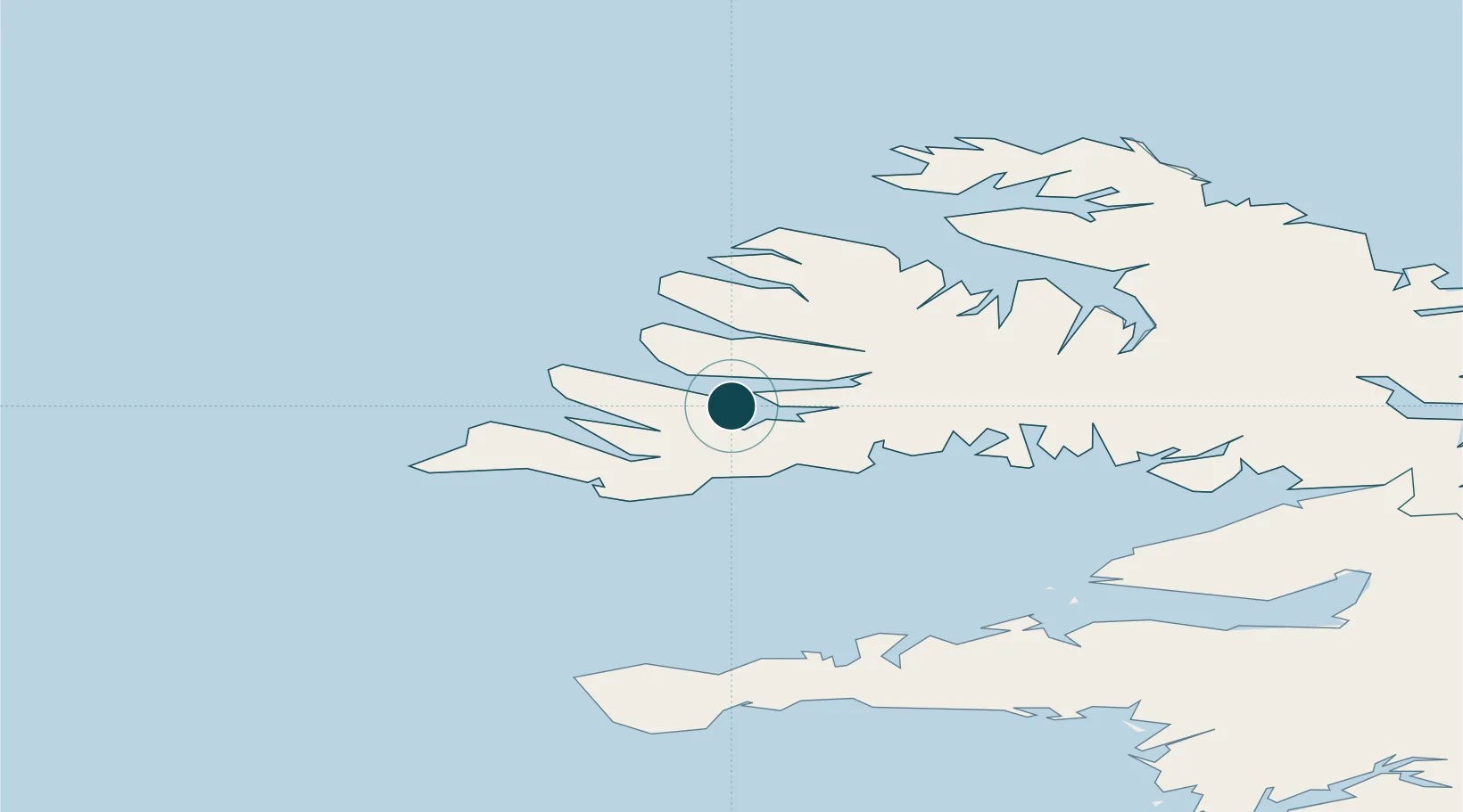
UNCTAD · Port Liner Shipping Connectivity Index

Location

Location of ISBIL
Natural Earth 10m (public domain) · Vestfirðir · ISBIL · 65.68, -23.60GoogleOSMYandex

Nearby Logistics Neighbours

Ports
  1. 1Patreksfjordur21 km
  2. 2Thingeyri23 km
  3. 3Isafjordur48 km
  4. 4Bolungarvik56 km
  5. 5Stykkisholmur78 km
Nearest neighbours — logibook spatial index (haversine) over the source coordinates
Cities
  1. 1Brjánslækur25 km
  2. 2Flatey47 km
  3. 3Bolungarvik53 km
  4. 4Reykhólar69 km
  5. 5Olafsvík89 km
Nearest neighbours — logibook spatial index (haversine) over the source coordinates
Airports
  1. 1Bildudalur Airport5 km
  2. 2Ísafjörður Airport47 km
  3. 3Reykjavík Domestic Airport190 km
  4. 4Keflavik International Airport195 km
  5. 5Siglufjörður Airport219 km
Nearest neighbours — logibook spatial index (haversine) over the source coordinates
Trade Zones
  1. 1Prestwick Airport Free Zone1522 km
  2. 2Carlisle Kingmoor Park Enterprise Zone1634 km
  3. 3Isle of Man Free Zone and Business Park1654 km
  4. 4Shannon Free Zone1659 km
  5. 5Dublin International Financial Services Centre1673 km
Nearest neighbours — logibook spatial index (haversine) over the source coordinates
DatabookThe Record of Consolidated Knowledge
Iceland beyond logistics?
Browse databook

All Sources

Portsthe NGA World Port Index
Public domain (US gov)
Logistics performanceUNCTAD
CC BY 3.0 IGO
AirportsOurAirports
Public domain
LocationsUN/LOCODE
UN/LOCODE — free
Trade Zonesthe World Bank SEZ database
CC BY 4.0
Trade ZonesOpen Zone Map
CC BY
← Iceland ports